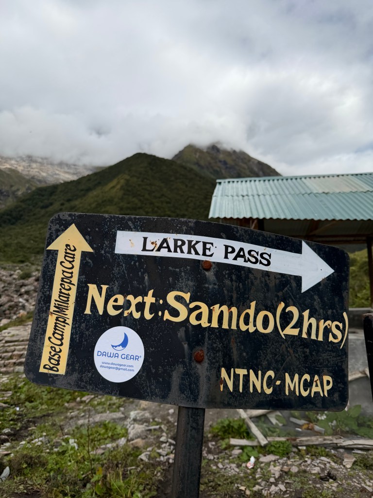
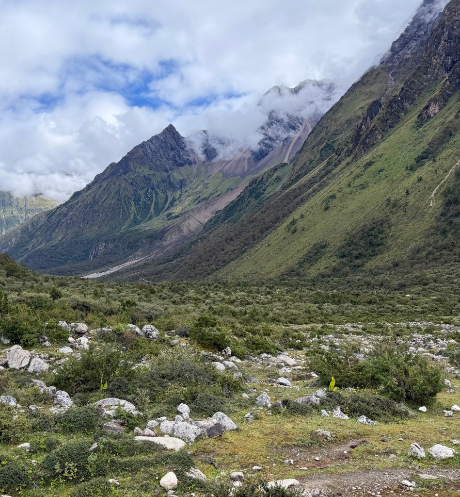
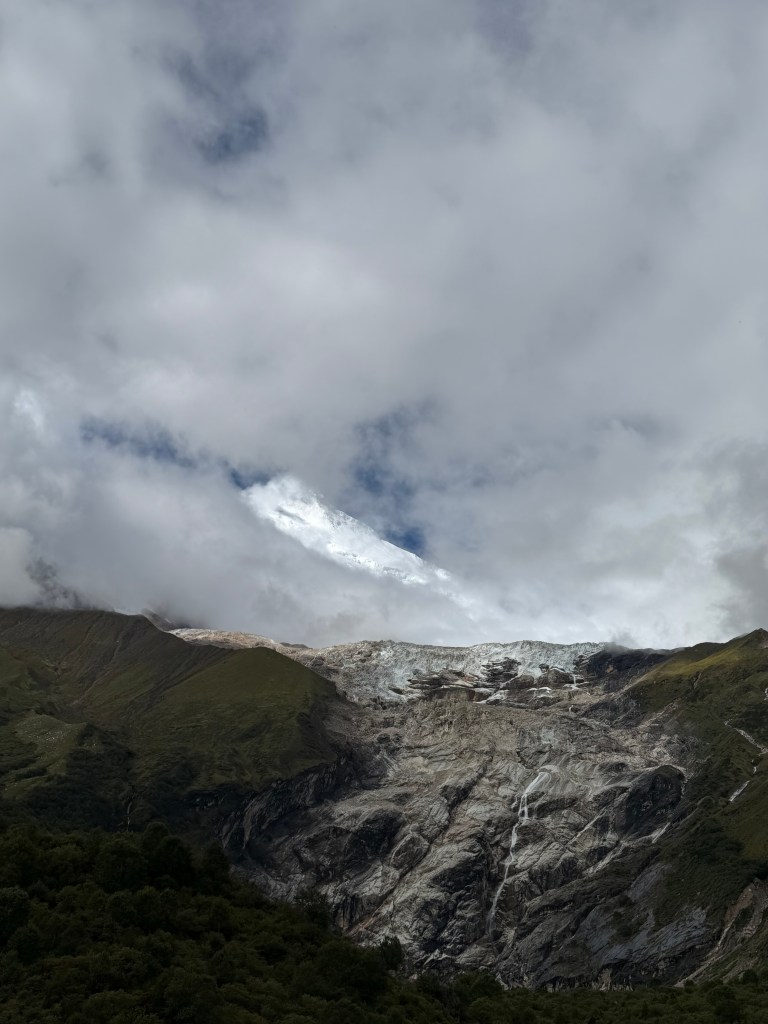
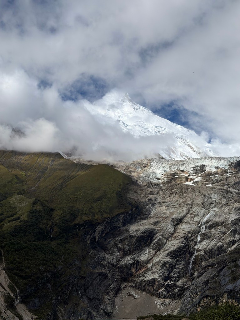
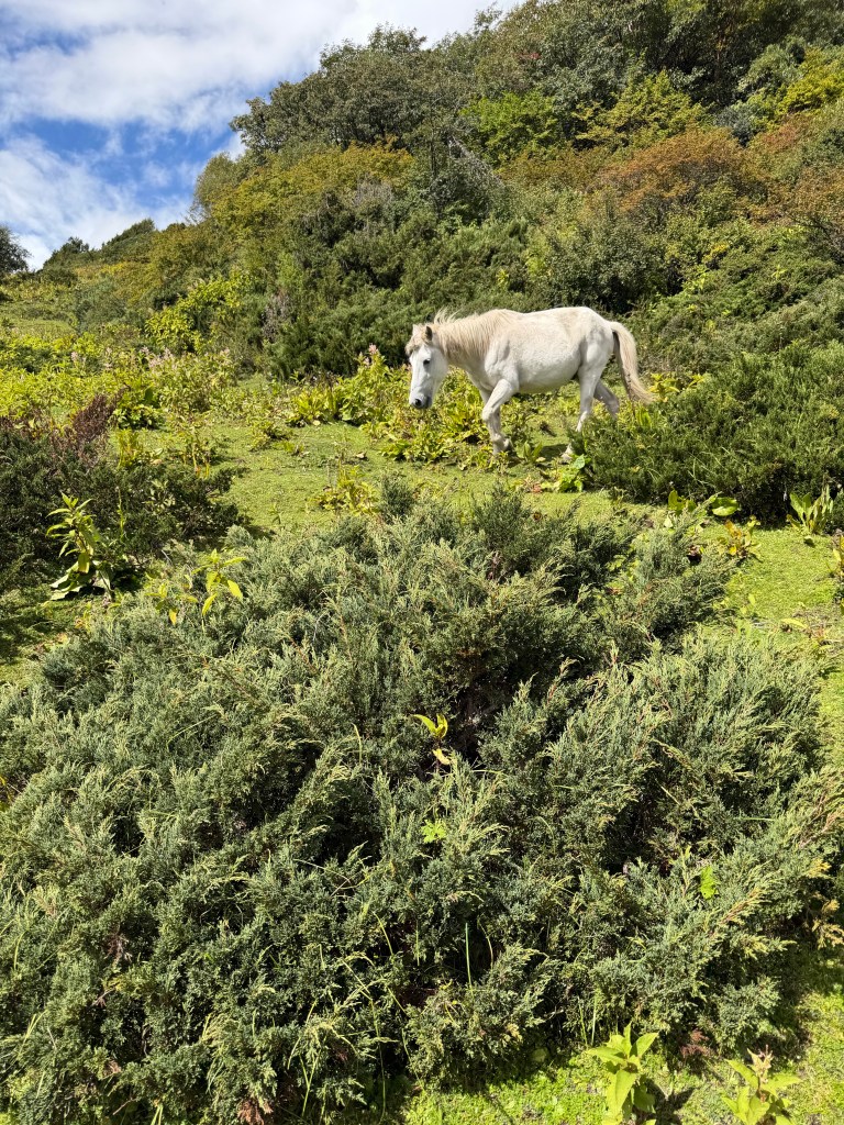
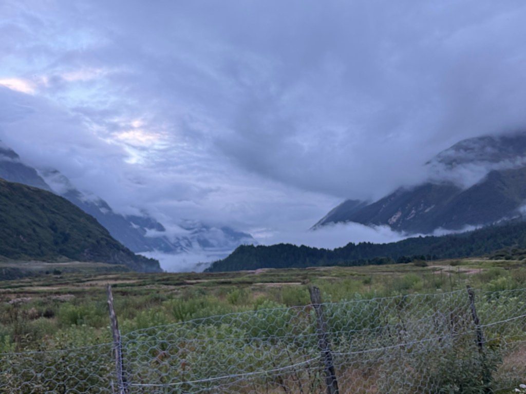
Today was so exciting!! I actually saw some mountains, and even got a glimpse of Manaslu. Omg ……..intimidating!
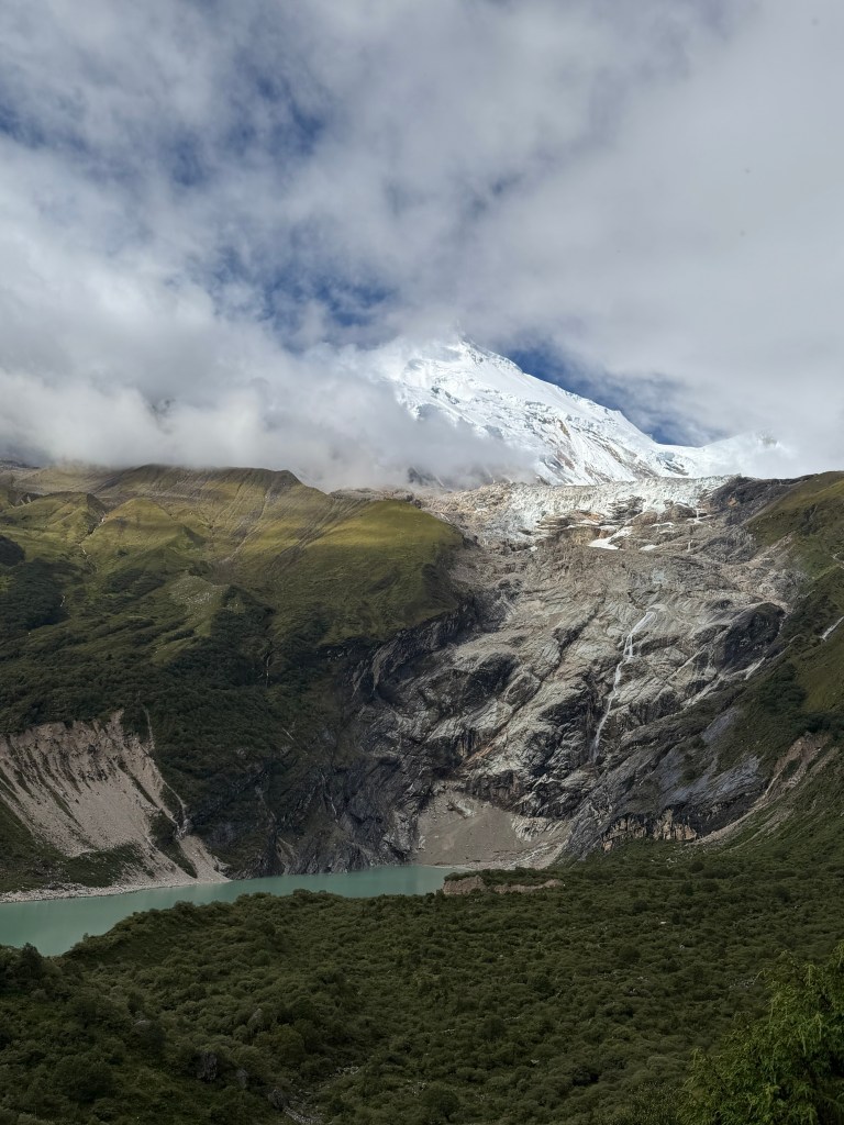
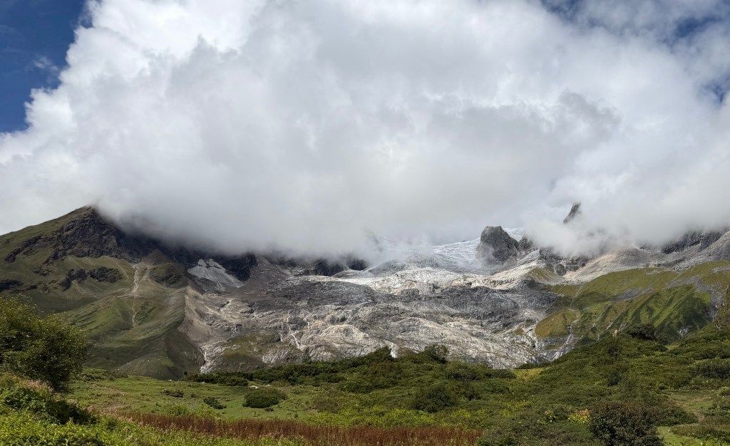
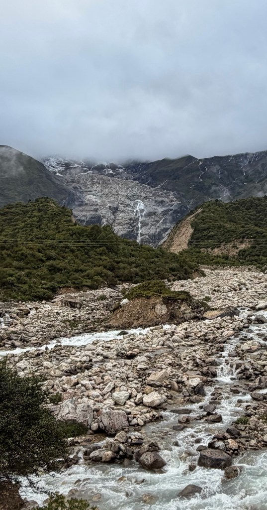
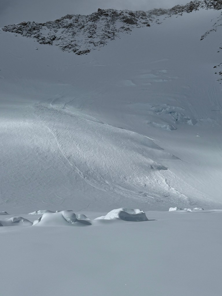
After breakfast – the usual, porridge and 2 boiled eggs – it was quite a surprise to notice a brightness outside. Outside the cloud was definitely at its highest since I arrived, and I even caught a glimpse of the northern Manaslu glacier. Terray claimed he could see base camp, to which I nodded in agreement, but I saw nothing.
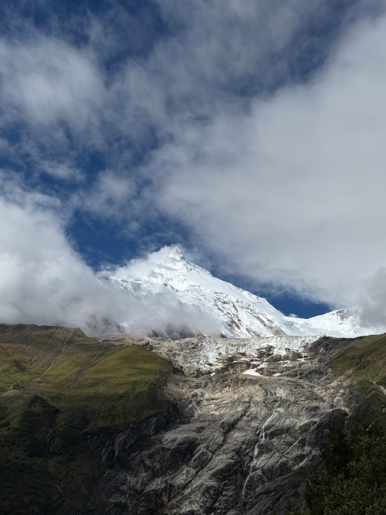
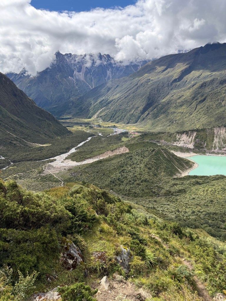
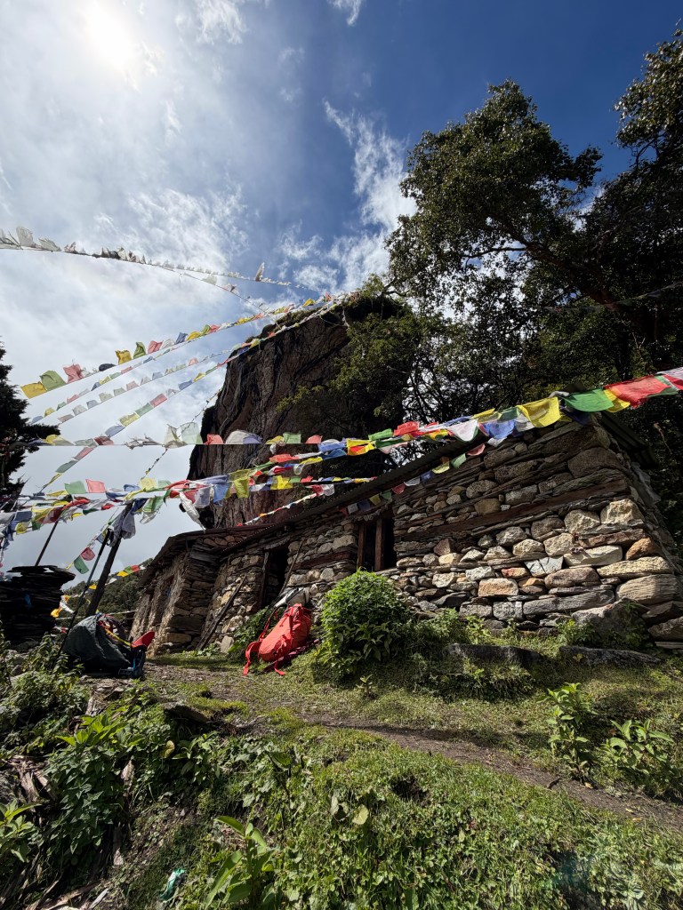
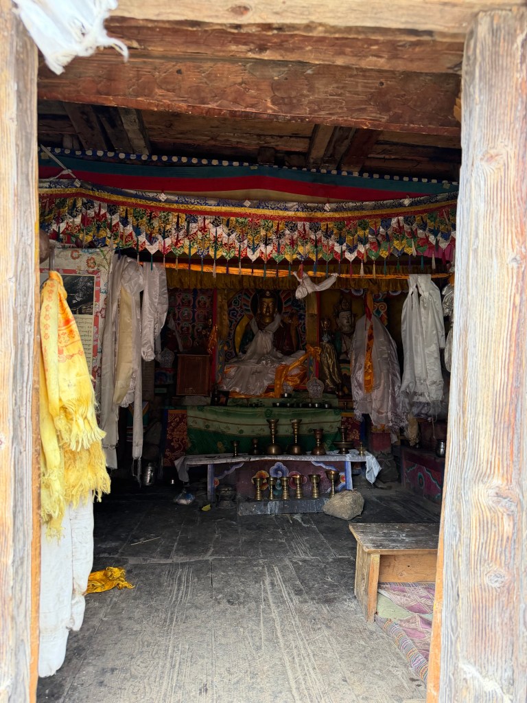
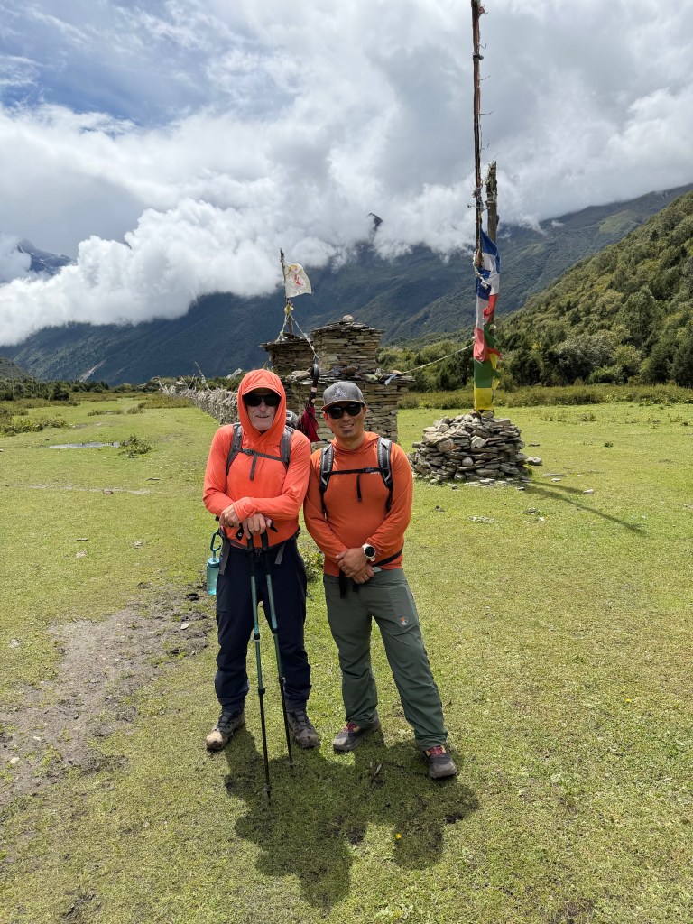
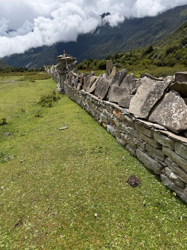
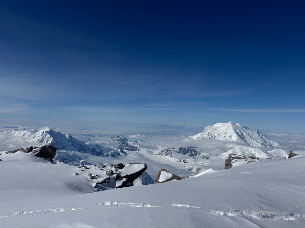
Our hike today took us a little way along the route to base camp, and then we branched off in search of Milarepa cave, a mediation spot up in the hills. The sun did break through, even to the point that sunscreen and sunglasses were required, and I took a photo of a blue patch of sky. The view of the Manaslu glacier was incredible. Below it is Belindra Tal (a glacial lake called after the last royal monarch). At one point the glacier reached all the way to the lake, but now it knew hundreds of feet above the lake. Around this time the cloud lifted, and we caught a brief glimpse Manaslu. As we watched the cloud continued to lift to eventually expose the summit. It looks like an upside down ice cream cone, it looks scarily steep, and so high. Our viewing point was at about 13,000 ft, so halfway! Base camp was obvious now, pitched on the grass slope just below the glacier. This area of Nepal is so interesting, you have lush forests running up to the glacier. Our ascent brought us closer to a second massive glacier, before we dropped into the woods to find Milarepa cave. Festooned with the mantra flags, this is another meditation spot, and houses a small Buddha shrine. The spirituality of the Nepalese Buddhists is impressive.
The current plan, always subject to change, is another hike tomorrow, and then we will head to base camp. The luxuries of the Mount Manaslu hotel will soon end.
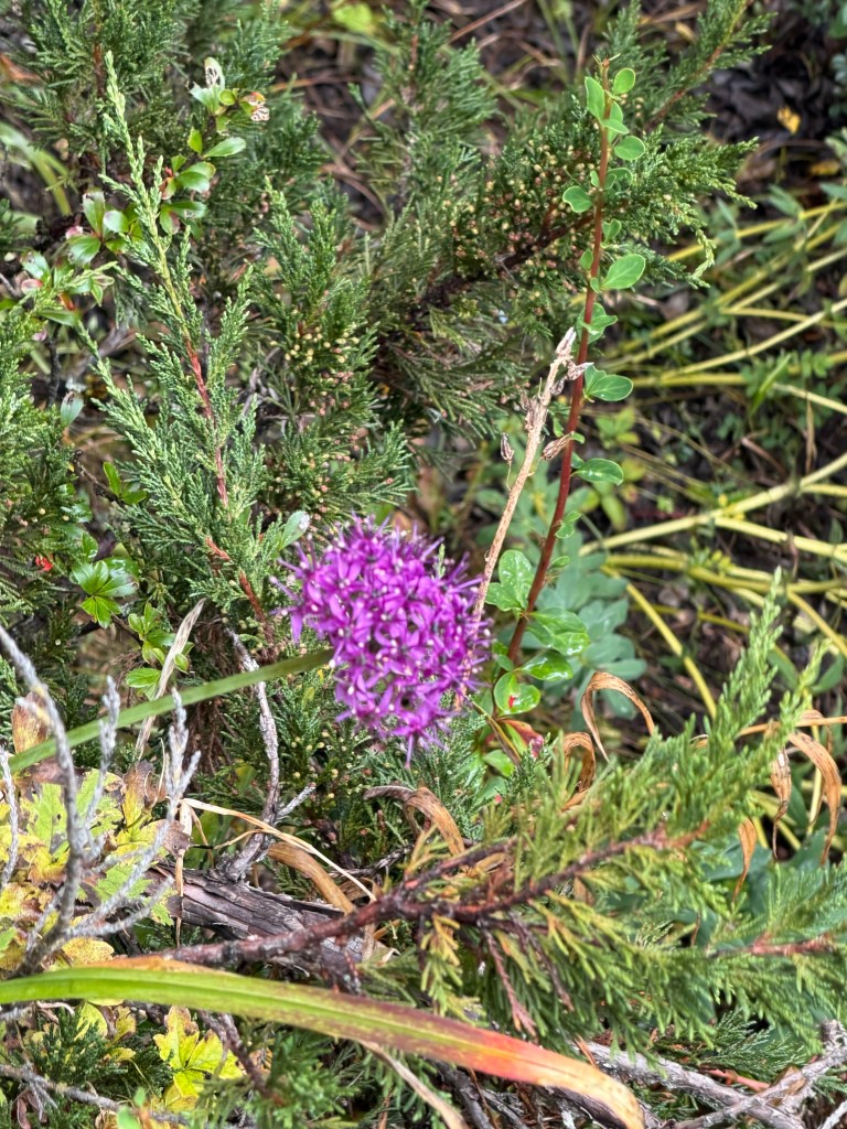
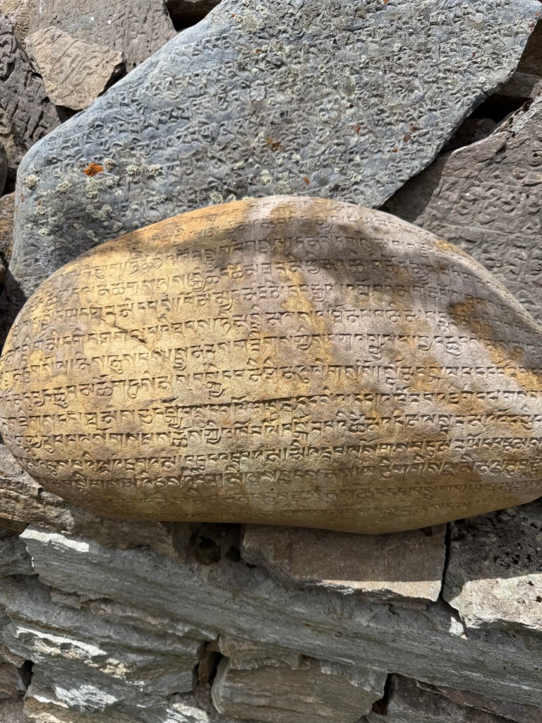
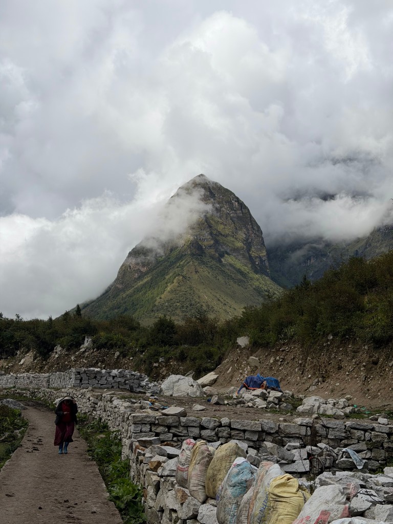
Morning is breakingA patch of blue skyNorth Manaslu glacier and a teeny glimpse of ManasluA bit more….Belinda Tal (lake)Manaslu – the picture doesn’t capture the steepness Nurbu valleyGlacier runs down to the forestMilarepa cave Inside ( from the outside)Prayer allInscribed stones on prayer wallMount Manaslu hotel
Today was a day of two firsts, hiking with an umbrella, and drinking yak yogurt – and living to write about it!The plan is to spend 3 or 4 days here in Sama to start getting used to the altitude. Proper acclimatization is a slow process, not drastic changes in altitude, so the plan is to do a number of 5-6 hour daily hikes.
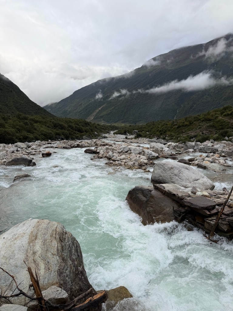
We hiked up the Pungen valley to a Buddhist monastery at about 13,500 ft. The hike up the valley was spectacular, skirting a roaring glacier river feeding from the Pungen glacier. The power and the noise was crazy. Passing a yak herd along the way, was as close as I want to get to the running of the bulls in Pamplona. It rained along the way, so we used our umbrellas, my first time ever. It was very pleasant, compared to putting on waterproof layers and sweating.
As we reached the head of the valley, the steep path opened into a huge meadow, which is used to graze yaks in the summer. Very basic huts house a few yak herders (if herder is the correct term). They stay there the entire season, helping the calving, milking, and making yogurt. We were invited in to sample. Ang Purba declined the going in part, but we did sample the yogurt. Seeing it being poured nearly made me retreat, a white very lumpy “liquid”, but it tasted amazing. Super creamy and fresh. A first, and not a last if I get another opportunity.
At the far end of the meadow is the Pungen Gumba (monastery). A small monastery inhabited by about 3 monks, with living accommodation. Just above the monastery are a number of caves, now fronted with a “modern frontage”, where monks go meditate for very extended periods, as long as 3-7 years. Seriously! It was a super day, being exposed to the culture. Nepali living is tough living. Oh – the acclimatization hike was fine.
Pungen valleyYakYak attackFor SophieThat’s a decent carryWalking in the rainYak herder‘s hutsInsideYak yogurtFemale yak herderApproaching Pungen GumbaThe retreat houses/cavesPungen GumbaBack to SamaBringing the spuds home
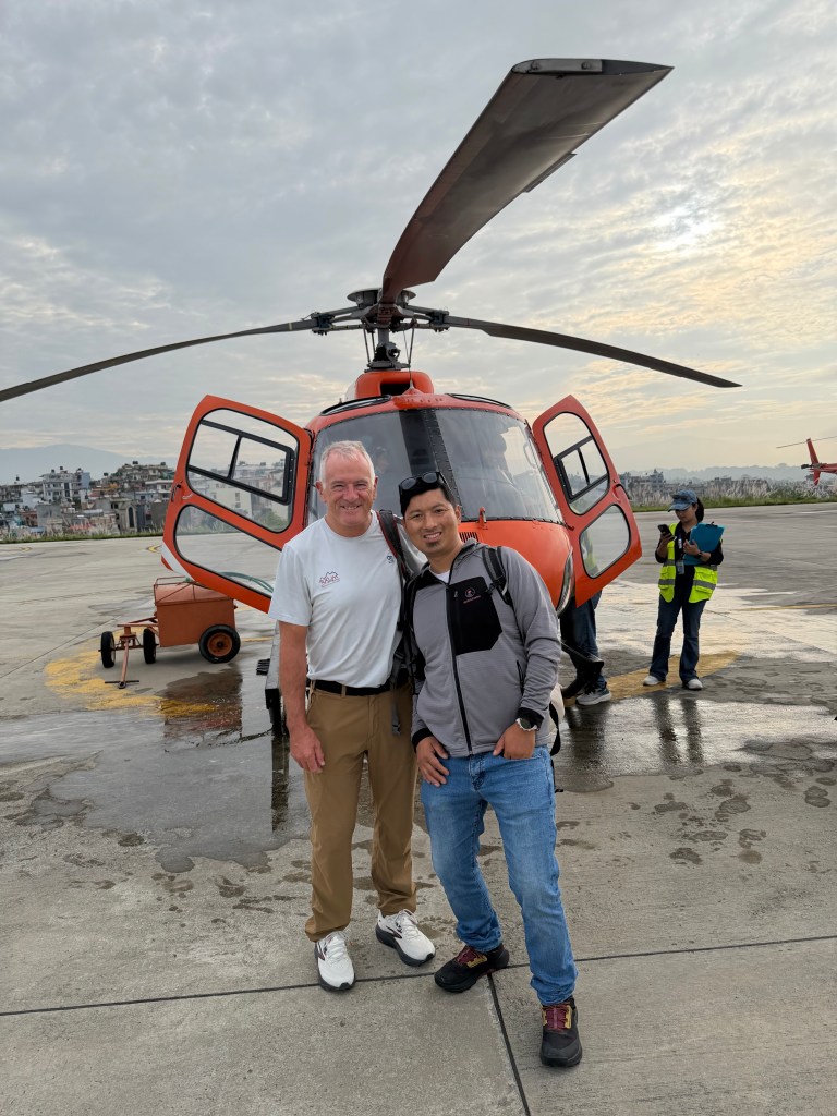
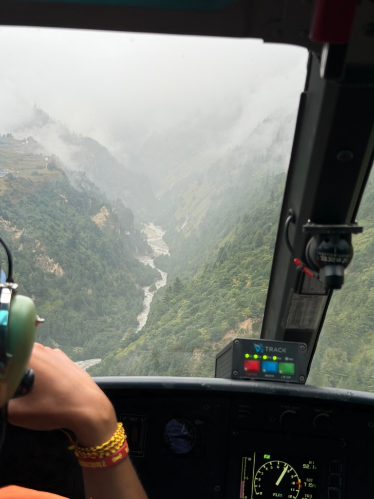
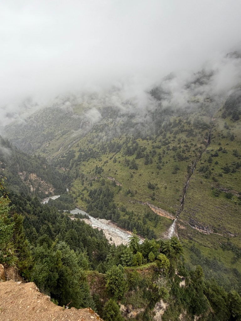
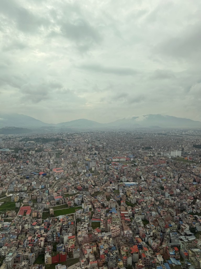
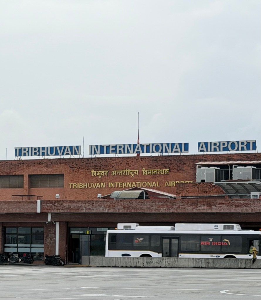
A 5am wake up for a 6 am transfer to the airport, to catch a helicopter ride to Sama. Sama is a small village at the head of the Nurbu valley, and a staging post for Manaslu. We were privileged that our helicopter pilot is the only female heli pilot in Nepal. We are somewhat lucky to be able to get a helicopter, as most have been commandeered by the government, to support disaster relief. We took off about 7am, heading northwest towards Manaslu and Annapurna – not that we could see very far due to the low cloud cover. We headed out over Kathmandu, and crossed the X valley, the valley affected by the recent flood. The narrowness and steepness of the valleys quickly makes you realize how these floods can be so devastating, as the water will rise by meters very quickly, washing away bridges and adjacent villages and homes. Sama lies in the next valley west of …. The helicopter negotiates these tight valleys so carefully, then lifts over intersecting ridges. It’s so beautiful and lush in a dramatic way, waterfalls, steep rock faces, raging streams. The most striking or remarkable aspect is the remote villages, perched on the mountainsides, miles from nowhere, with some fields and terraces around them, that are farmed. How do people exist here?
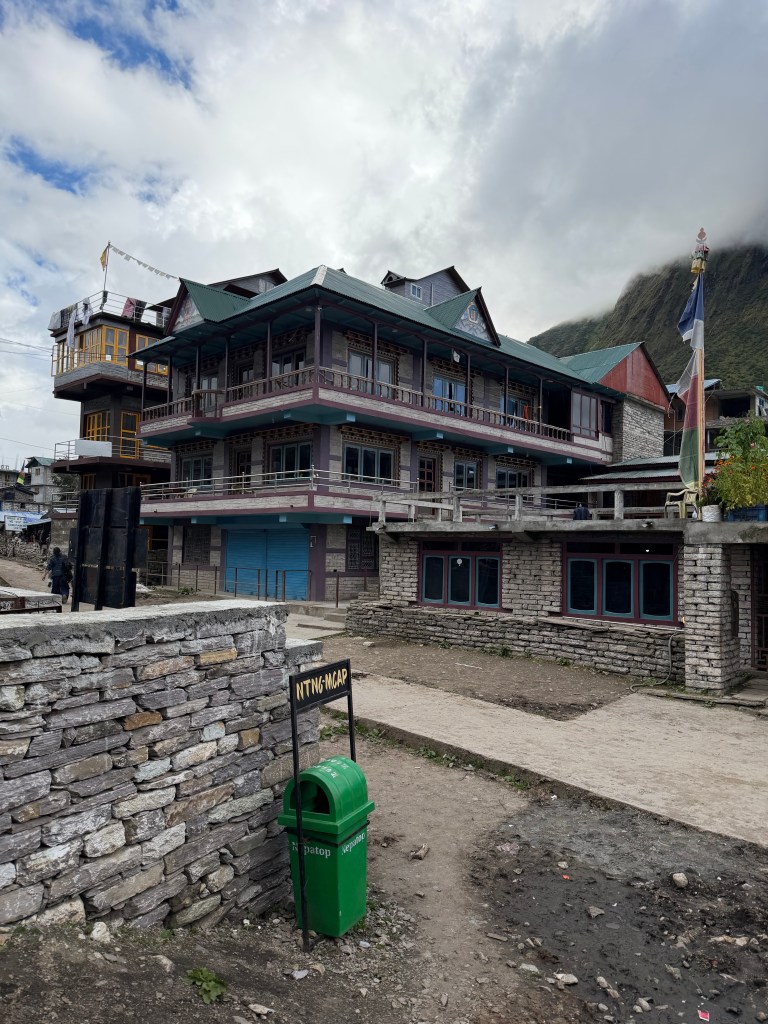
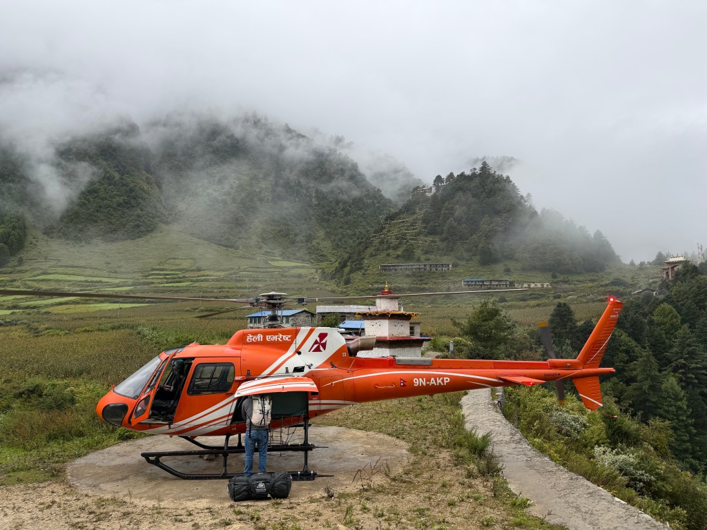
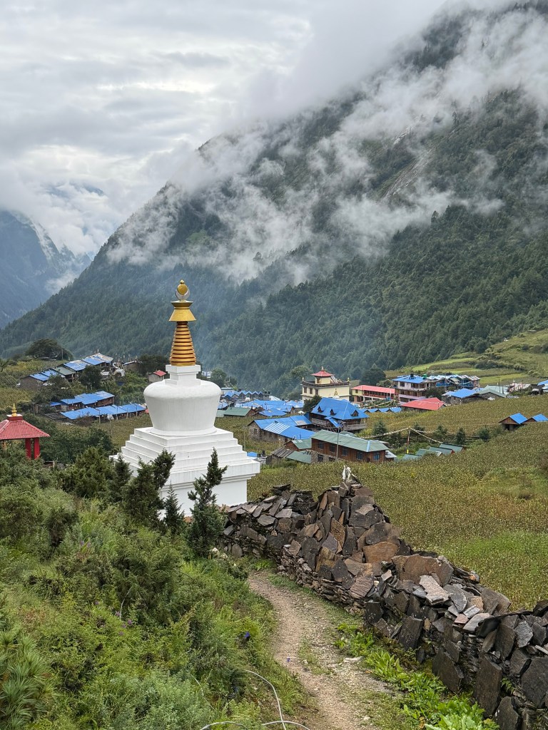
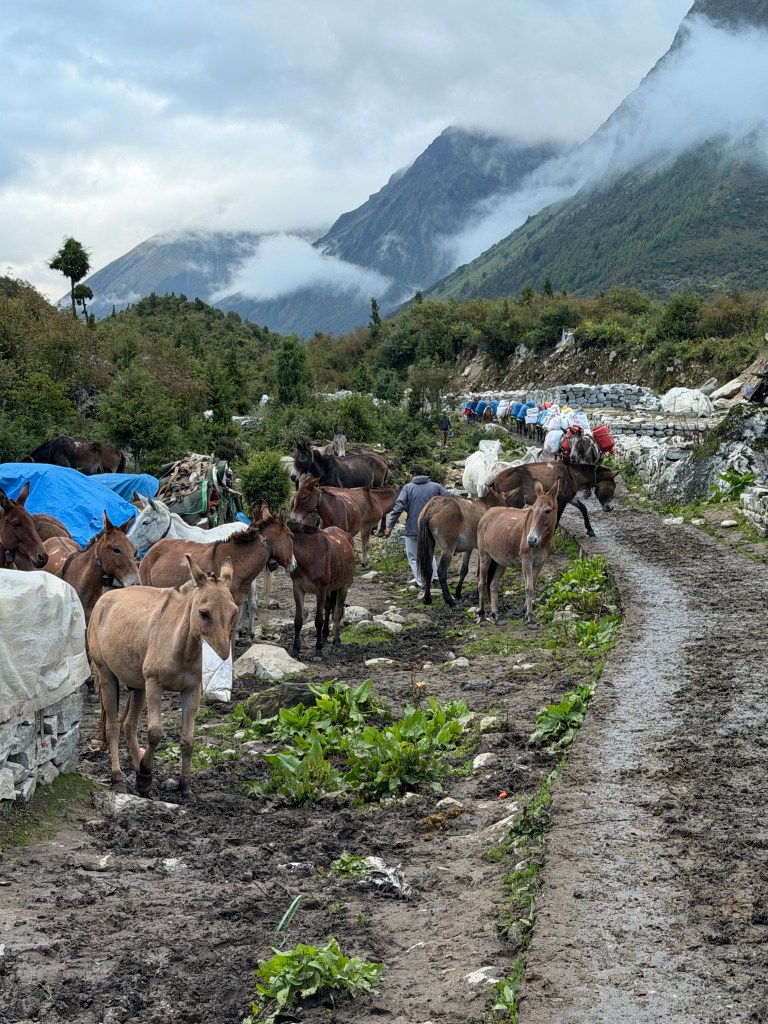
Practically everything must be transported in by mule, yak, or human porters, but now perhaps they are seeing more use of helicopters. About 3/4 way in we encountered dense fog or cloud, and we had to land near a bigger village and monastery. We unloaded, and waited to see if the cloud would clear and we could continue, or would we walk the remainder. The cloud lifted, so the trek was avoided. Sama is a small village, apparently sitting directly under Manaslu – not that I could validate that, as it was cloudy and rained all day, sits at 11,500 ft. We are staying in a typical lodge/hostel/teahouse, with a dining space, and many small rooms. The increase in popularity of Manaslu has clearly led to a construction boom, as many more hostels are being built.
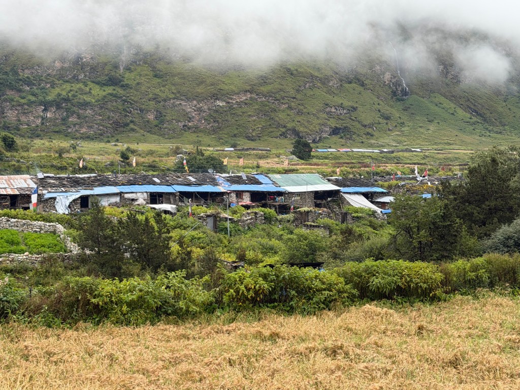
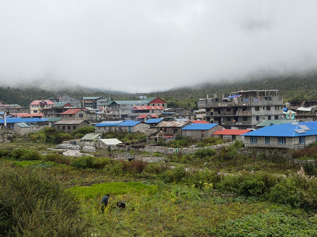
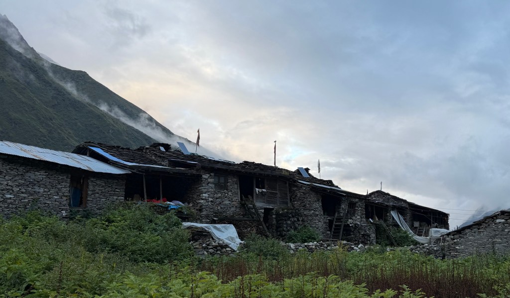
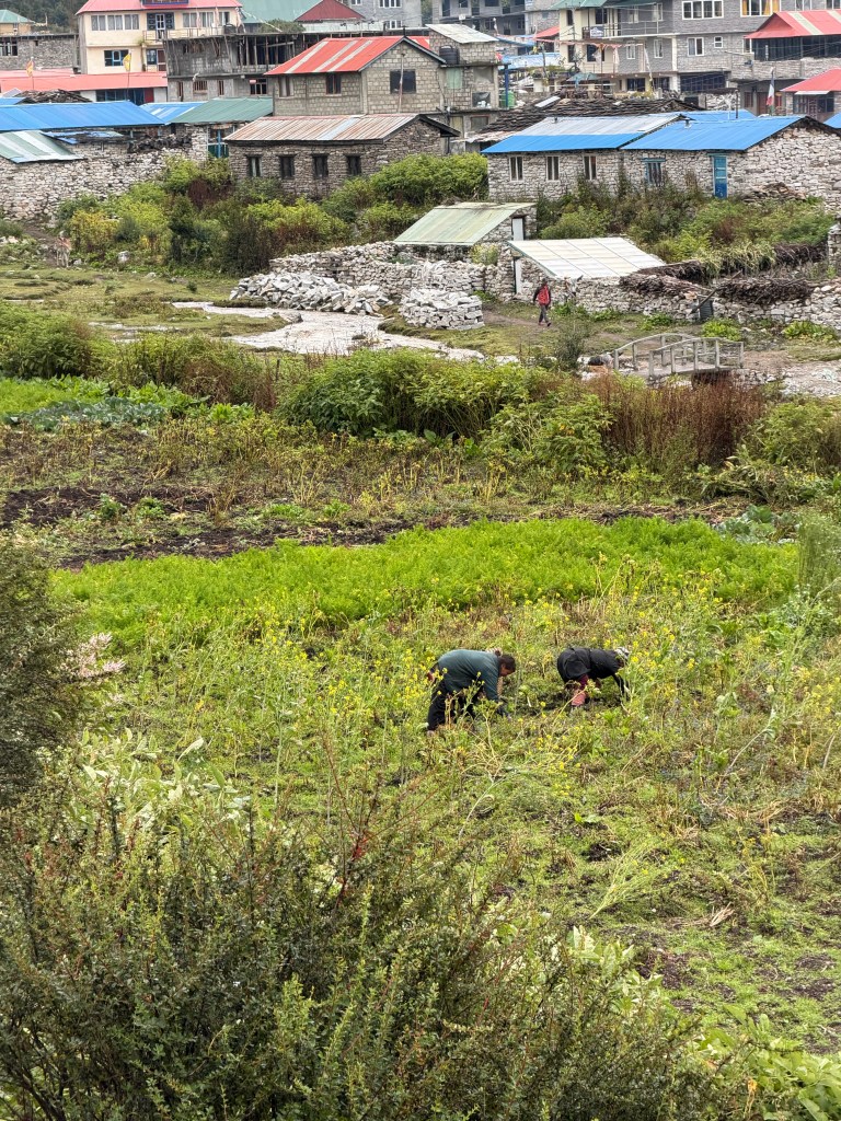
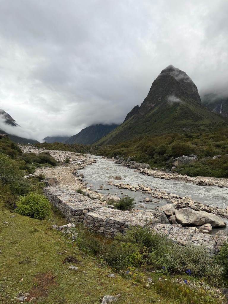
Today I encountered serious downtime – just hanging around the hostel, waiting….. It rained pretty heavily all day – we are at the tail end of the monsoon, and this valley is noted as being particularly wet. Fortunately the rain stopped at about 4:30, so managed to get a walk in around Sama. The village centre itself consists mainly of hostels, shops and cafes. The locals live in very basic housing – family on top, animals in the lower level. The people are so friendly everyday wishing you “namiste” with a smile. The scenery was spectacular once the cloud lifted. Got to see the bottom of the glacier which leads to base camp, and even saw a snow covered peak. Acclimatization hike tomorrow.
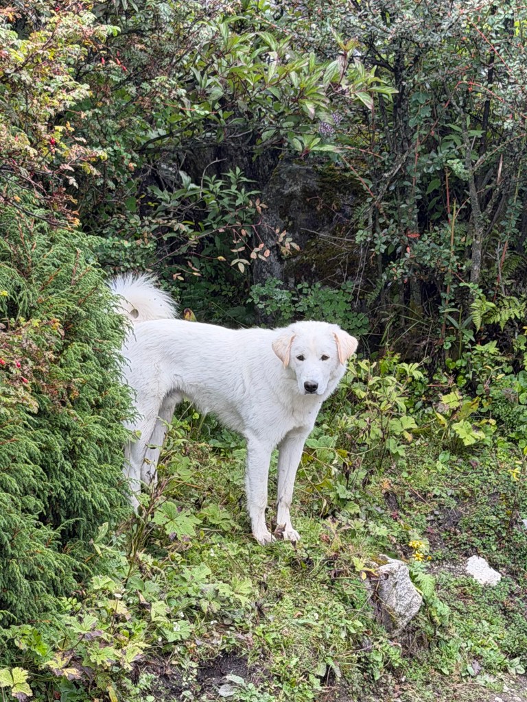
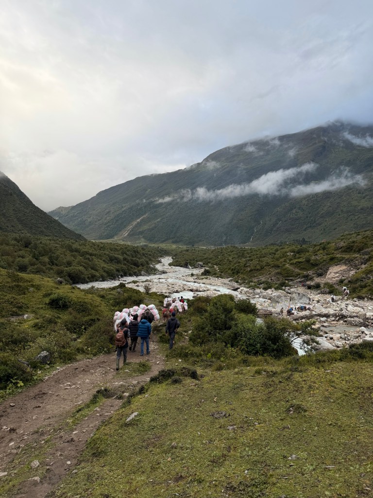
Ang PurbaView of valley en routeUnplanned landingLho – our unplanned landing spotSamaSama “commercial part” lodges and cafesLocal housingFarmingRiver north of SamaA friend on the trailBase camp is up thereMule caravanDinner for the weary
I woke today at 9:15 am. How many years since that happened!! I hope that means the end of the jet lag.
Last night at dinner I met our Sirdar, head Sherpa, for the trip. Ang Purba has summited Everest 15 times. I know, that’s ridiculous, but for him it’s just a job!
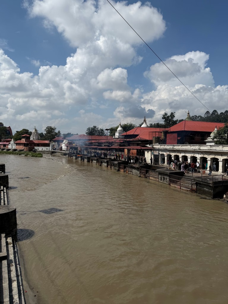
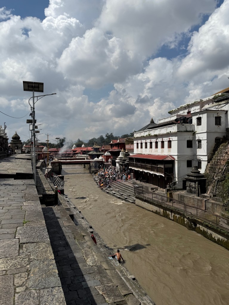
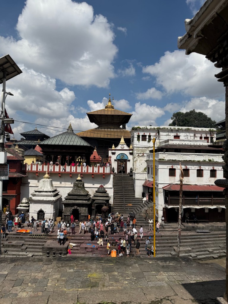
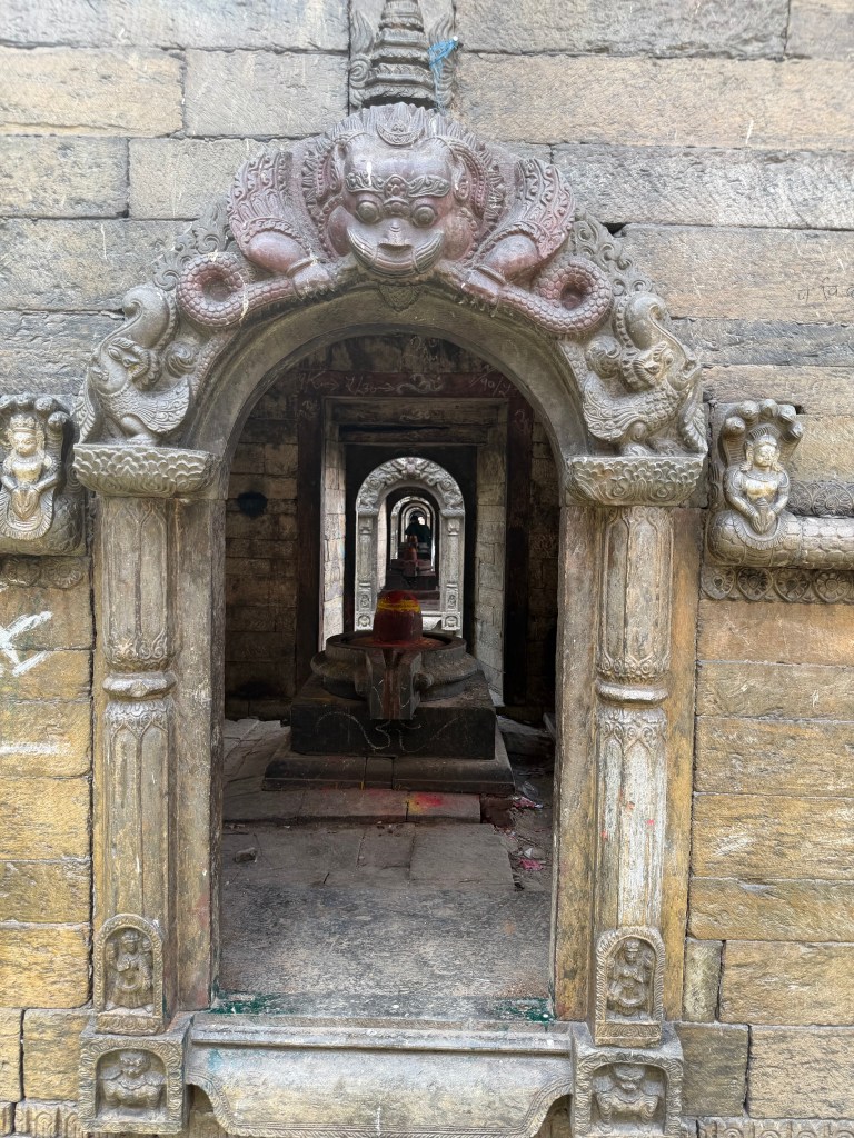
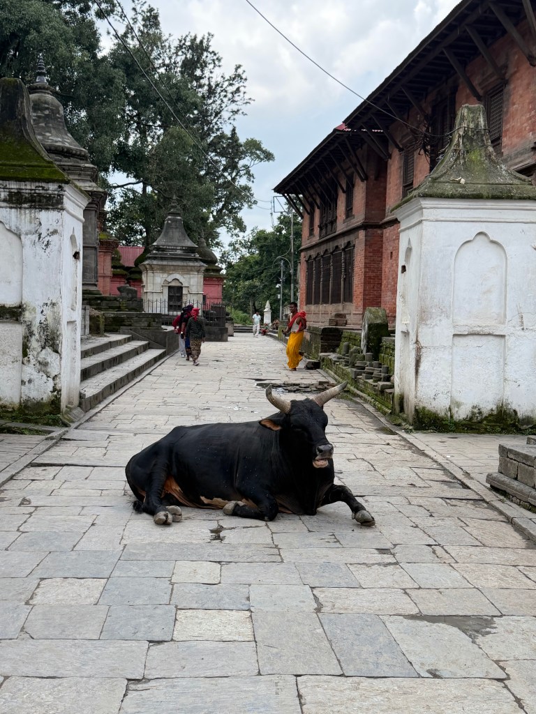
There are 7 UNESCO world heritage sites in Kathmandu, and today we visited two of them, a Hindu and a Buddhist temple. The Hindu temple, Pashupatinath, a temple for the god Shiva, is very sacred in the Hindu religion. Hindus from all over the world visit this sacred place.
Today is was very sombre. A pall of smoke held overhead, as the smoke from many cremations rose up. Seemingly many of the bodies from the flood disaster are being cremated here. Cremation can take place in many places, but always by a river, so to return the ashes to water. Cremations at Pasupatinath are ‘special’, due to location by this sacred temple, and the location on the Bagmati river. The Bagmati is a sacred river, as it flows into the Ganges.
The temple was quite chaotic, so many people coming to worship, but also so many cremations, and people walking and swimming in the brown, gushing river. One could really feel, and see, the impact of the flood. Very unsettling, sobering.
Between culture stops, we had time for a quick lunch. In a Nepalese restaurant I had a vegetarian dal bhat. OMG, embarrassing! The sweat was running off me, literally raining on my tee-shirt. I mean visibly raining -the waiter dropped by asking “is it a bit spicy sir ?”
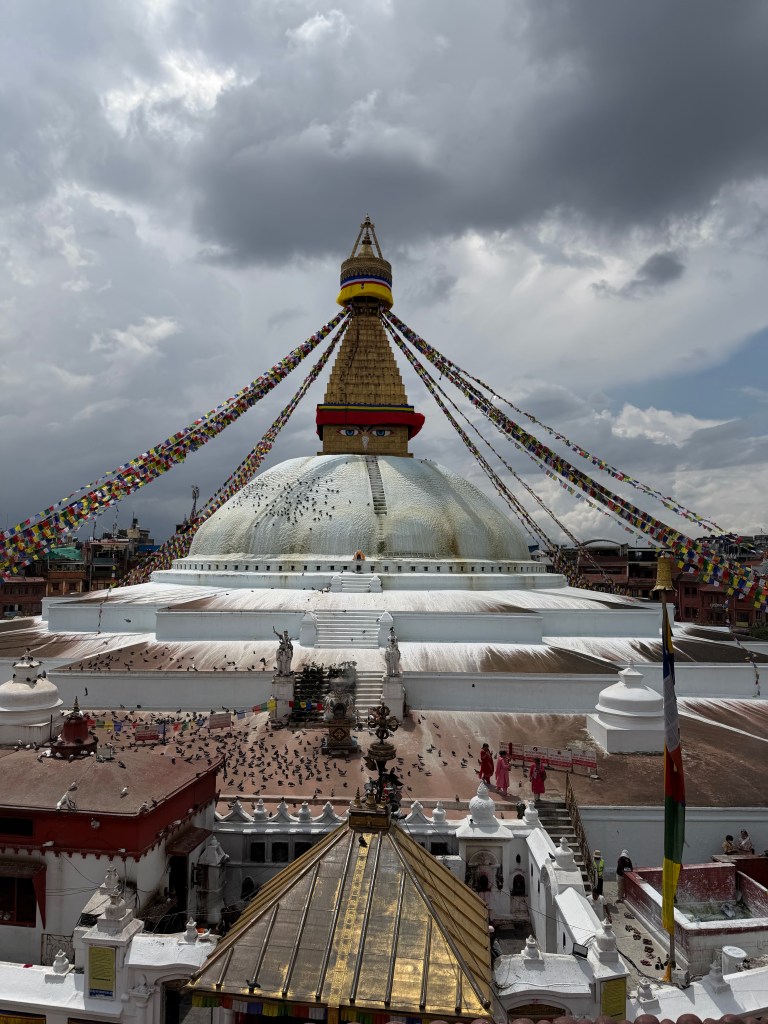
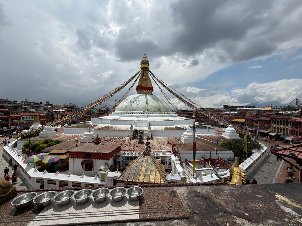
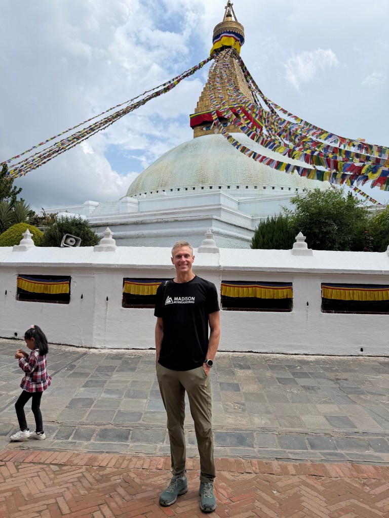
Across the city is Boudhanath stupa, a very sacred Buddhist temple. In contrast, here was very serene, very spiritual, really different vibe. It was spotless. People and Buddhist monks and nuns walked clockwise around the enormous stupa, with the four faces of Buddha, to signify his “all-seeing”. People spun the prayer wheels as they walked. Each prayer wheel is full of deposited written prayers, that rise up when the wheel is spun, so when you pray, you lift the prayers of many. What a thought and impact.
Tomorrow I leave for Sama, a small village up the mountains, where we begin acclimatizing. We have 3 days there hiking, before we move to base camp, for the next acclimatization step. Helicopter at 6 am. It’s getting real. Spin the prayer wheel.
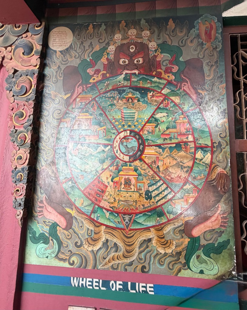
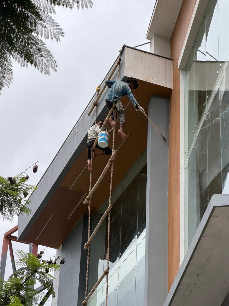
Cremations by the BagmatiHospice, for those close to passingThe main temple (with the gold roof)Looking through 11 shrines dedicated to ShivaShiva is god to all creaturesBoudhanath StupaWheel of life representing outcome of how we overcome ignorance, anger, desire (represented by pig, snake, bird in the centre). Hell is at the bottom, heaven on topTerray, the expedition leaderScaffold for painting outside of building in Main Street. Yikes!
How did I get here? Why am I here?Great questions. This trip has been a journey already.
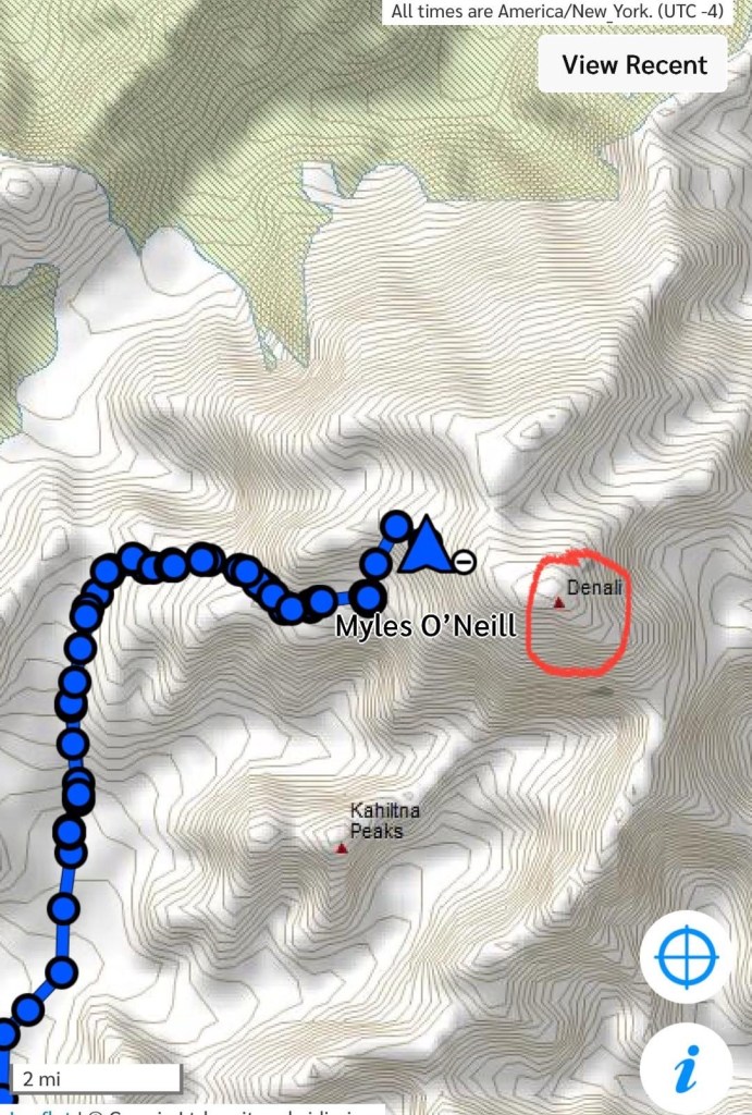
Since I started all this mountain stuff back in May 2022 on the Kahiltna glacier on the side of Denali, and realized it was something I loved, my dream has been to attempt an 8,000m peak. My choice was to attempt Cho Oyu (pronounced Choyou, as I’ve come to learn!). This would be the least technical, and an opportunity to go to Tibet, and drive across the great Tibetan plain. However, the Chinese government didn’t issue permits for Cho Oyu this year, and after waiting until the latest possible moment, Madison Mountaineering, my expedition company, offered Manaslu in its place.
2 of the original team of 4 declined as they had summited Manaslu previously, so now it’s just 2 people, Woodie, who I haven’t met or communicated with, and me. Woodie doesn’t arrive for a few days, as he has done his acclimatization at home. (I think he used a hypoxic tent).
So that’s a long winded story of how I ended up here in Kathmandu, to attempt to climb Manaslu.
Manaslu is the eighth-highest mountain in the world, standing at 8,163 meters (26,781 feet) above sea level in west-central Nepal. Cho Oyu is the 6th highest at 8,188 meters, or 26,864 feet. In fact there is only 300 feet in difference between Cho Oyu and Annapurna, which is the 10th highest, but technically there is quite a difference.
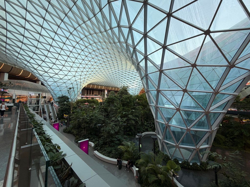
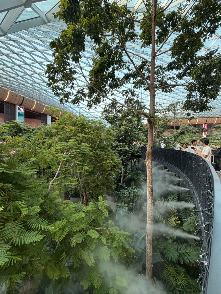
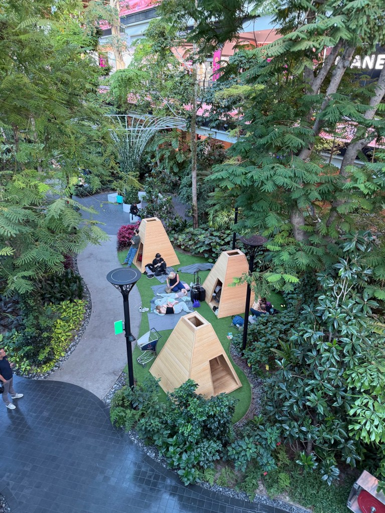
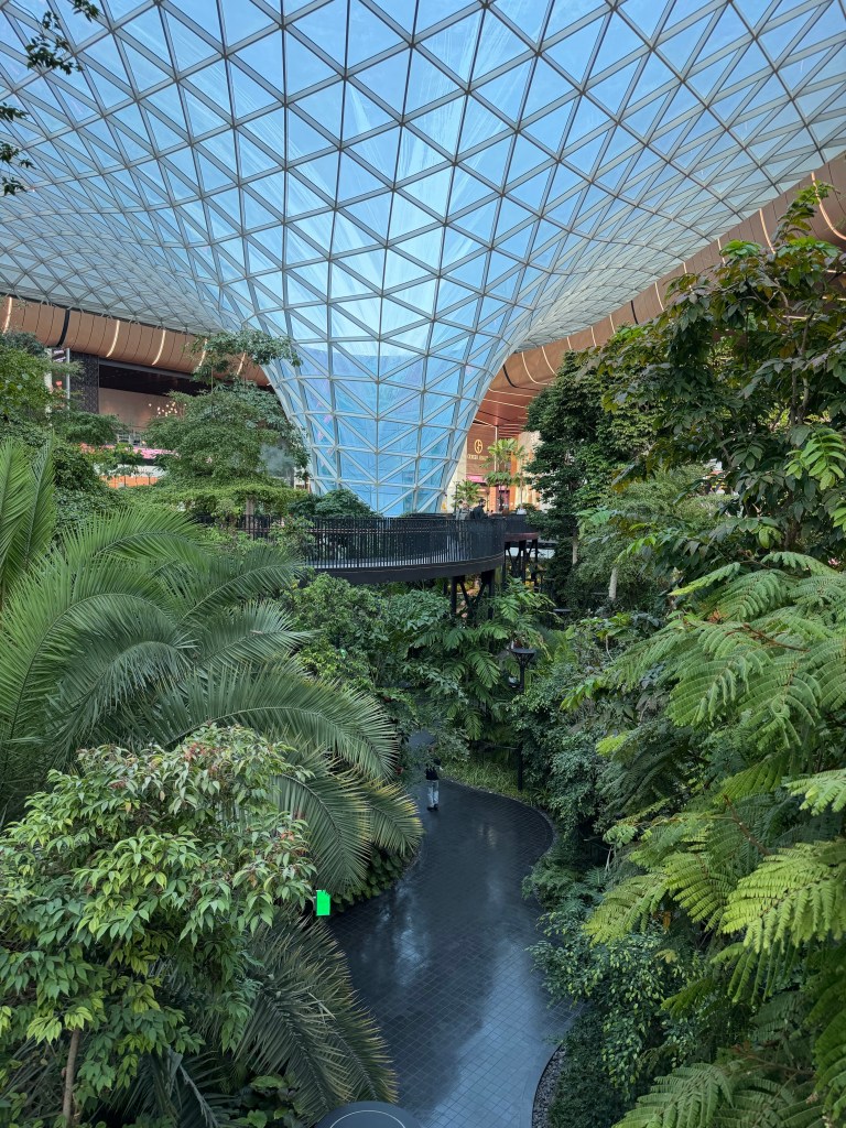
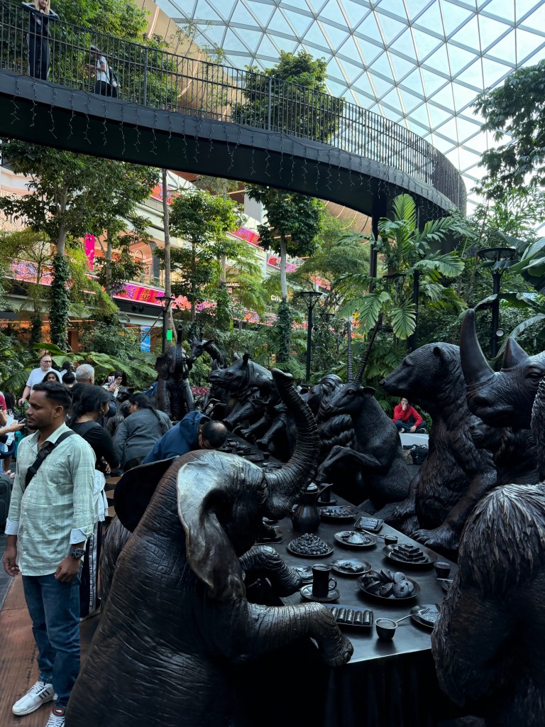
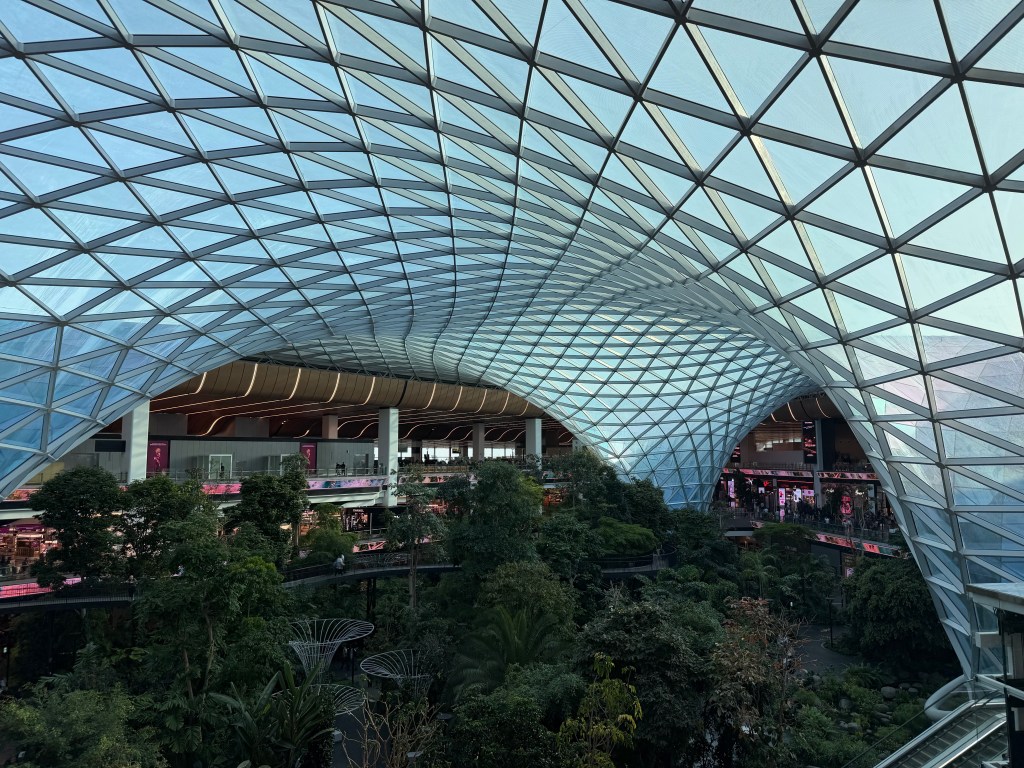
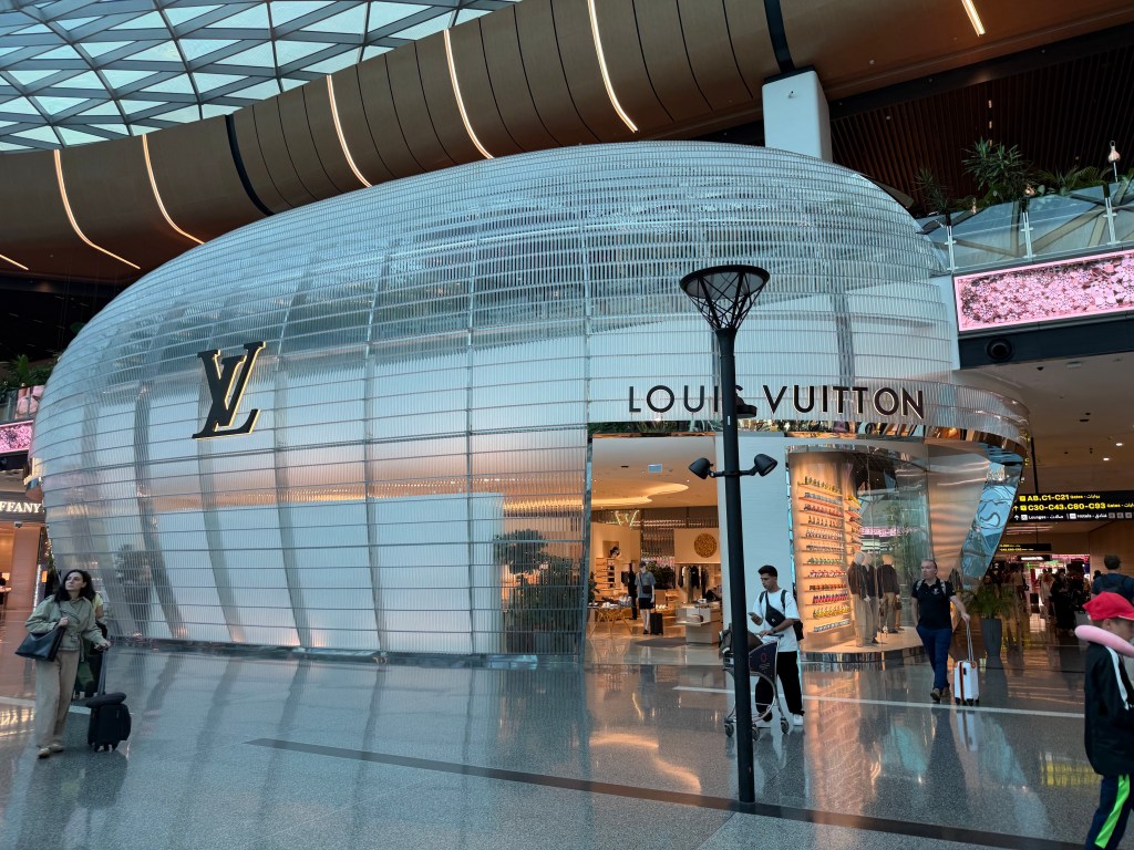
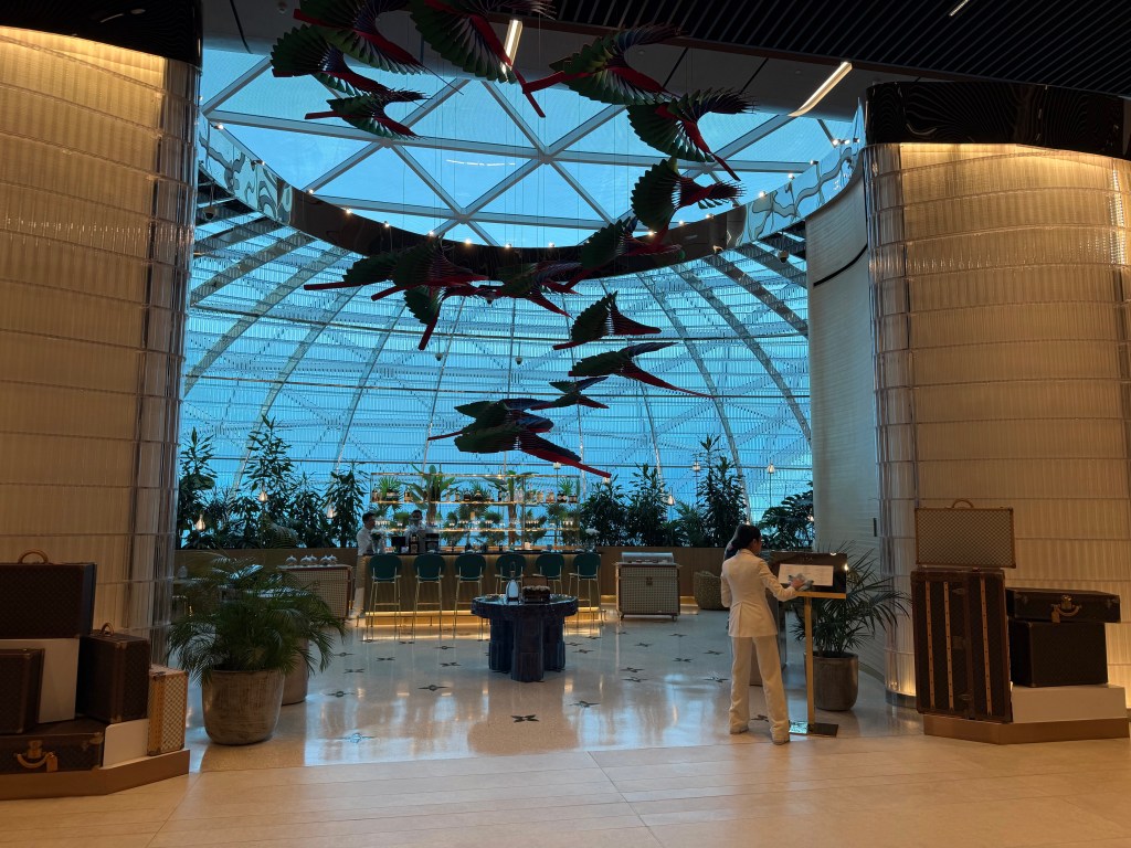
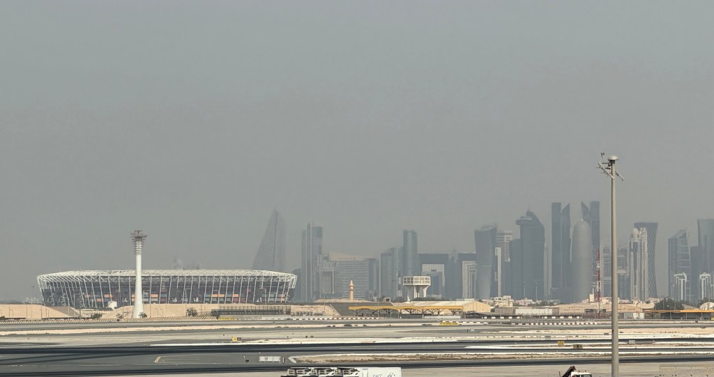
I travelled here via JFK, and Doha, on Qatar airlines. What a treat!!! GMy first time on a Middle Eadtern carrier, but the service and quality is everything I had heard it would be. I got to spend a few hours in Doha airport. That was incredible. They have an internal garden, more like a forest or a small jungle. Even has timber tents, for people to sleep in. The biggest selection of high end duty free shops I have ever seen. Fionnuala could have a holiday just in the airport!
Leaving Doha we flew over the Straits of Hormuz, or Harmoooze, as someone infamous calls it! No missiles!!
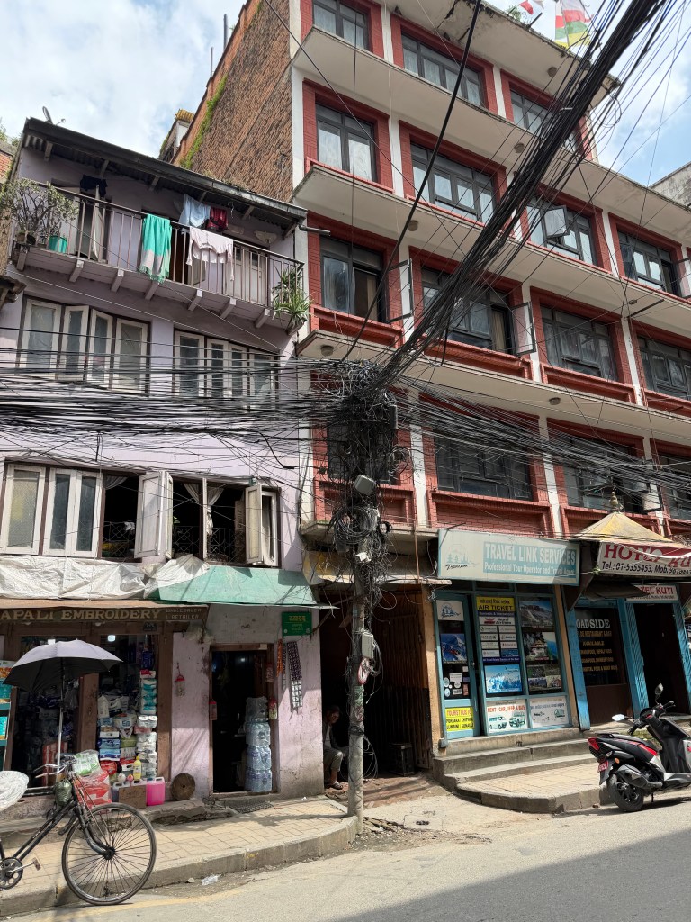
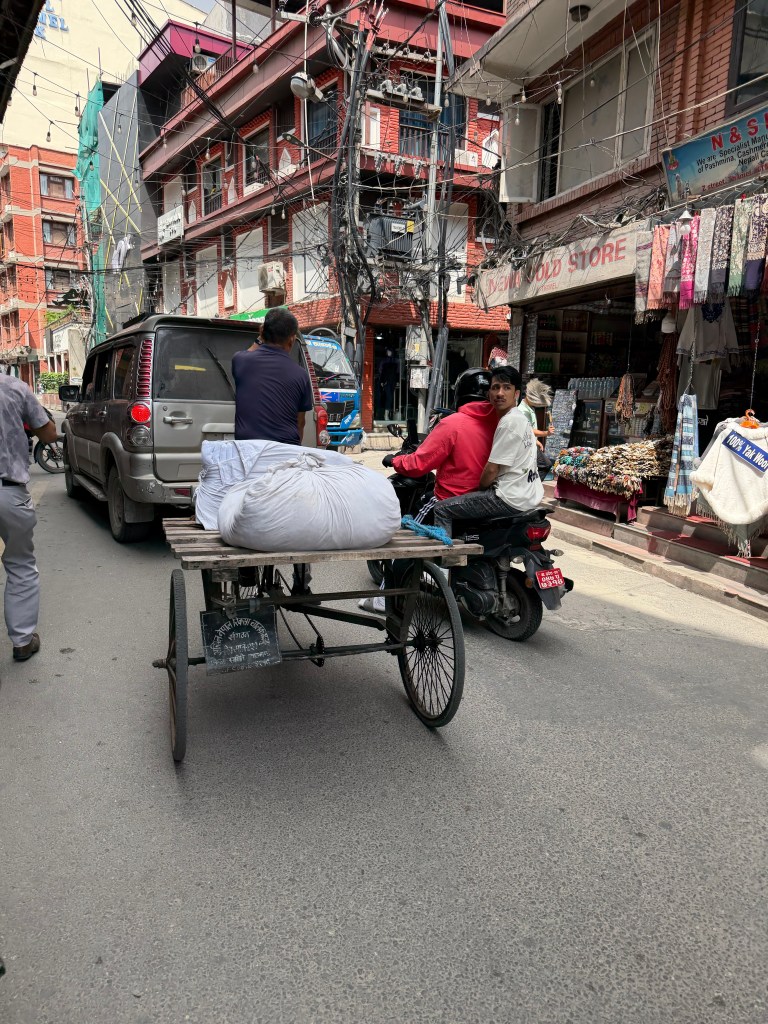
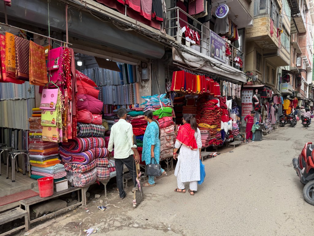
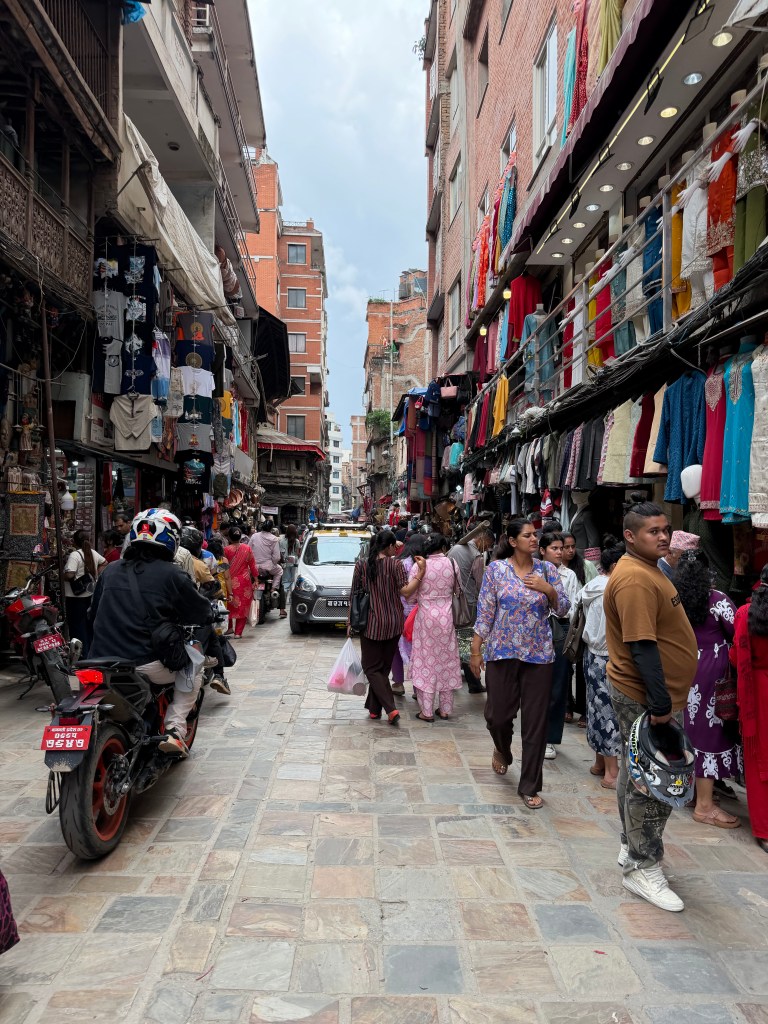
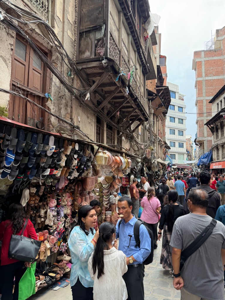
Kathmandu is as I remember it. Crowded, crazy traffic, and hundreds of scooters. We are here for 3 days, before we helicopter on to Samagoan, so some time to get past the jet lag and do some sight-seeing.
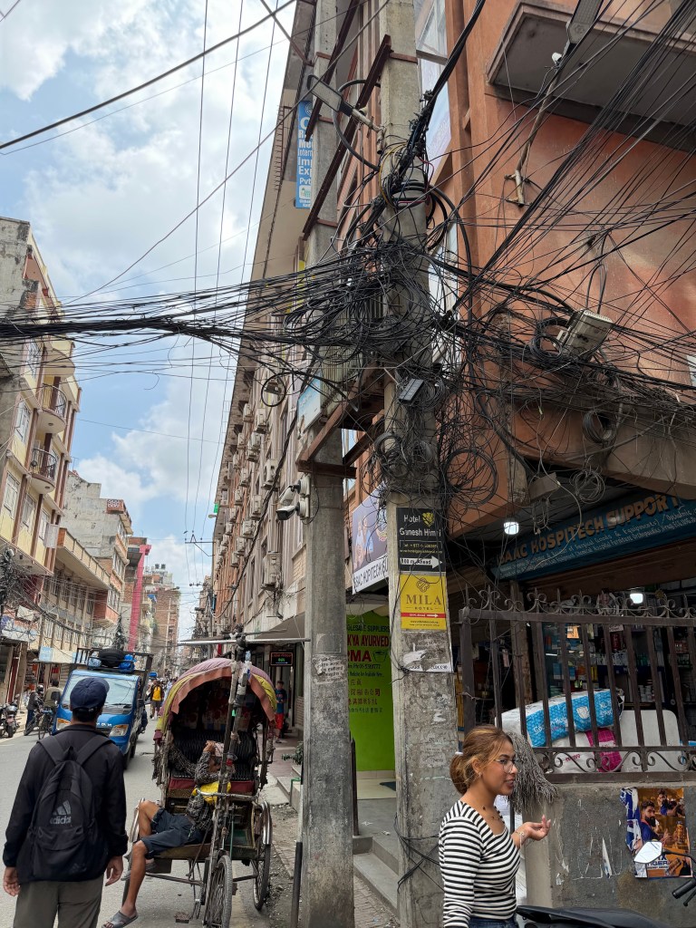
Doha airportTents, and ‘residents’Fionnuala………Doha skyline and football stadiumApproaching KathmanduWelcome to NepalKathmandu electrical codeMany forms of transportShopping district Traffic jam!
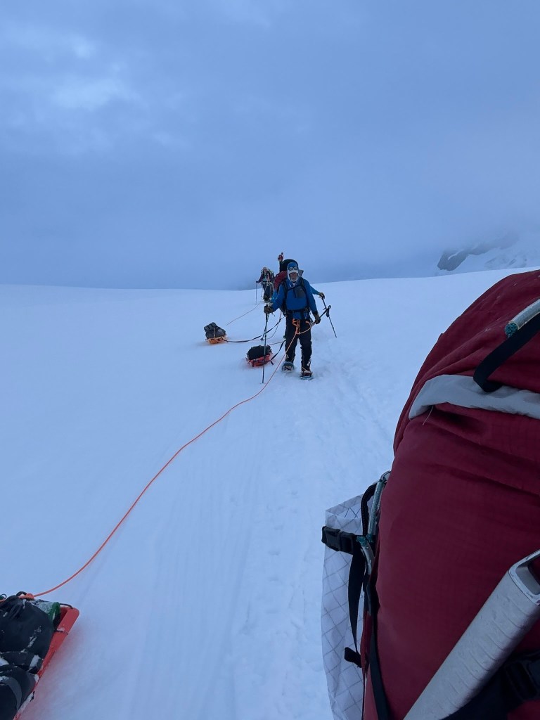
Dom was true to his word, he woke us at 12:30 am. There was warm water for coffee, and to refill our water bottles. Breakfast was a breakfast bar. The cache of stuff we left at Camp 2 was retrieved and divided. Everyone was zombie-like as we tried to remember what we had cache’d, and whose snowshoes were whose!The bags were getting heavier with each camp we passed. Crampons were exchanged for snow shoes, and we were walking by 1:30 am.
The early start was again to cross this crevassed section when the snow was frozen, or as cold as possible. Six miles and over 3,000 feet of downward elevation to go. It was still snowing.
It was a slog. After getting through the prayers, I needed some distraction. My quads were sore. The chest strap on my bag was annoying me, as it constantly detached – really bad design! For only the second time on the trip, I tuned into some podcasts. Football Weekly and Barry Glendenning, The Rest is Politics and Alistair Campbell and Rory Stewart.
We stopped at Camp 1 to pick up some more cached gear. Bags got heavier again. We criss-cross crossed the glacier to avoid known crevasses. Dominic had been here many times and he saw or sensed where the dangers lay. The snow turned to rain, and the underfoot snow was soft and slushy. The slushy snow was sticky for the sleds. Just keep going, it can’t be much further. At the end of the trail, you have to go about 500 feet uphill, on what’s known as Heartbreak hill. So hard! I remembered going in the opposite direction as we set off 19 days ago. The downhill section then seemed nowhere as steep as it was now going up. Back then I had no idea of what the adventure, the highs and lows the intervening 19 days would hold. I recalled how we passed teams, and they too seemed zombie like, and I had no idea why. How could they be so grumpy and disengaged after completing their adventure? Now I knew!! Just get me to the airstrip.
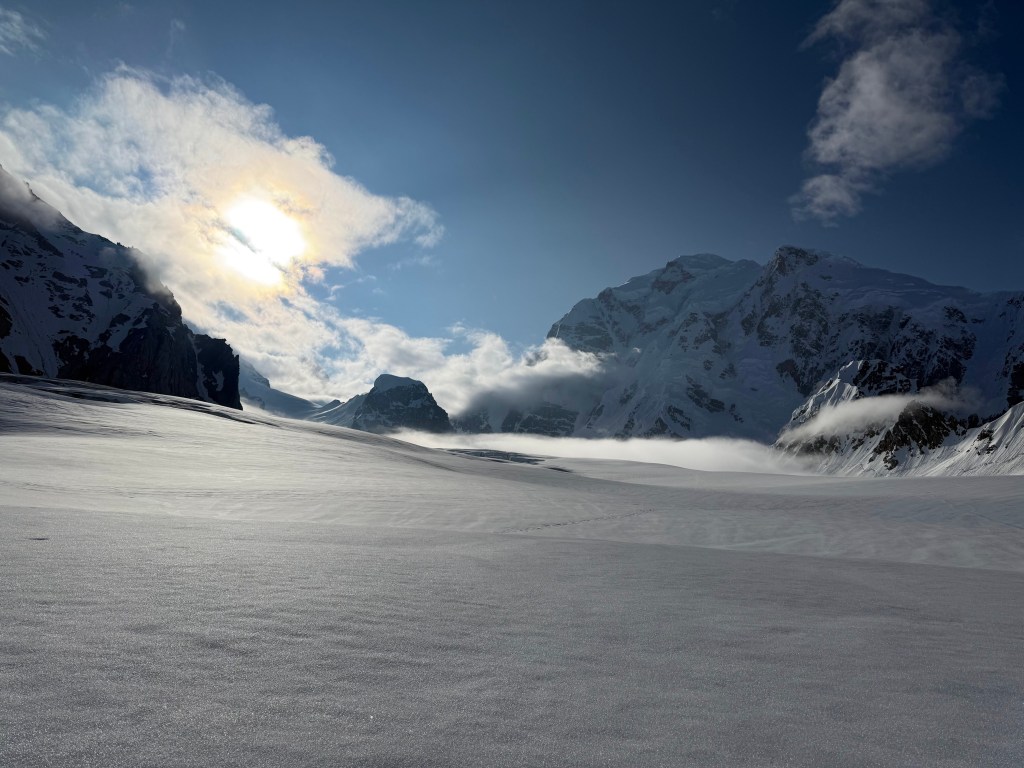
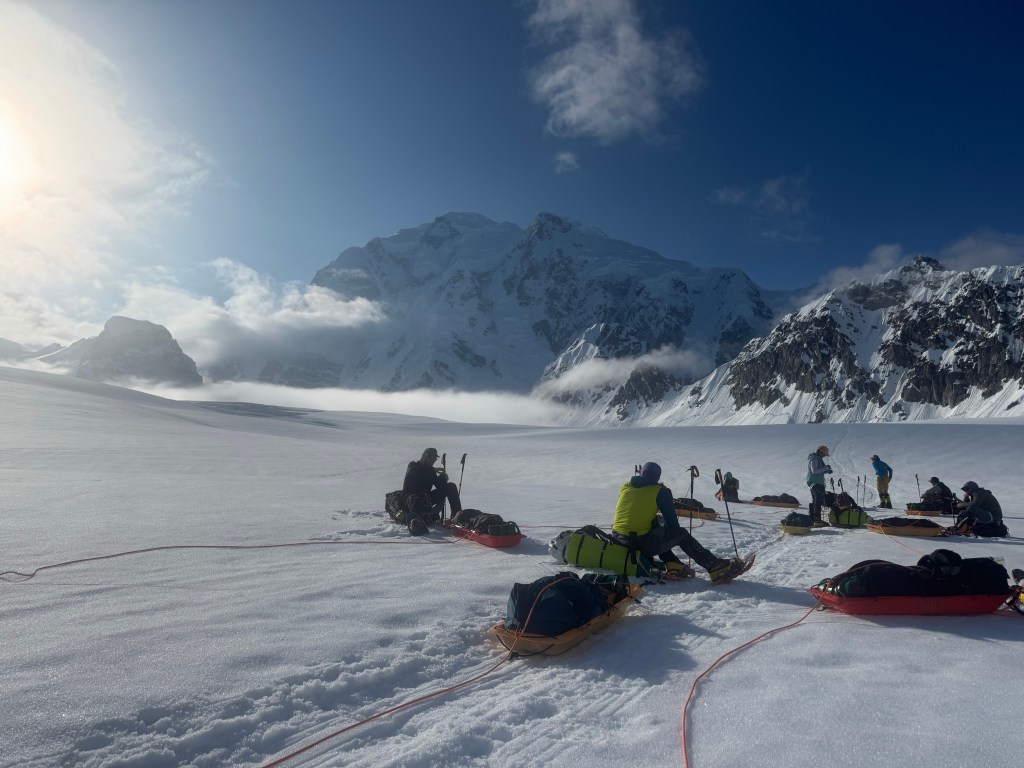
The rain had stopped, but the cloud was low. Please God, make the clouds go away, we need to get a plane to land to collect us, I cannot spend another night on this mountain, another night in a tent.
As we approached the “runway” we heard an engine. A plane was landing to connect another group, Dallas’ group, who were there ahead of us. Thank you God! We were at basecamp )and the airstrip) at 9:30 am. We had descended over 10,000 feet in 19 hours, 2 of which were sleep. I was done, wiped out, looking forward to a bed!
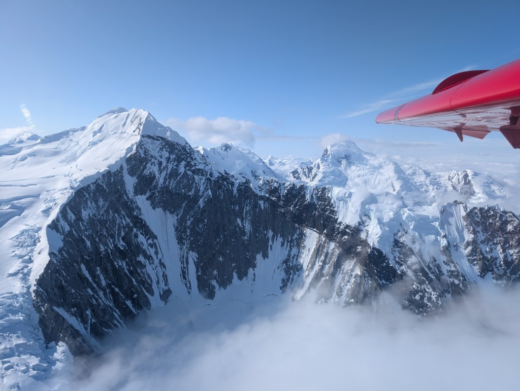
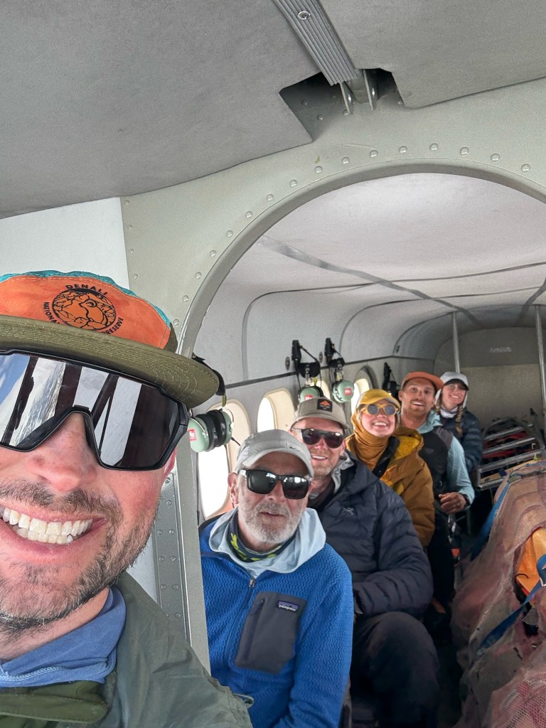
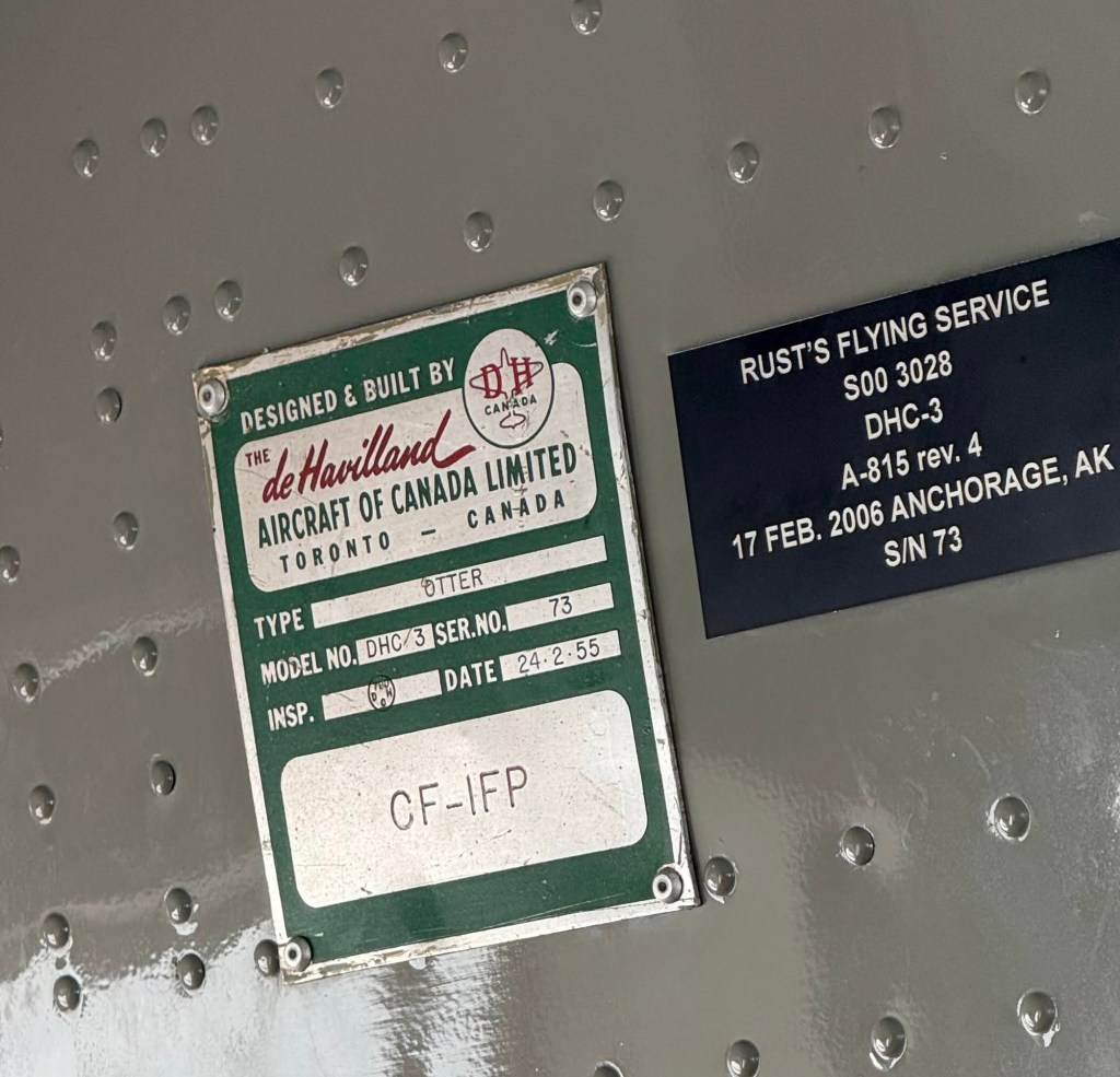
At 9 am we heard another engine, and we saw the red K2 De Haviland bank steeply to the left and land, followed shortly by another. We were getting off the mountain. We were going home!
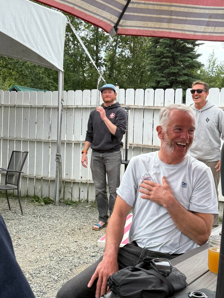
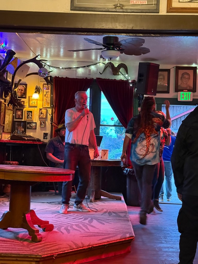
Breaking camp 1:00 amGrim!Snow turns to rainNo hopeHopeMore hope What a sky8 am and hope – it’s getting brighterMade it to basecampBack at basecamp..and the airstripIt’s a plane 🎉Ready to load Take off and goodbyeAll aboard!1955 de HavillandBack in TalkeetnaFun timeScene of the crimeThe end…….or not?
We were woken at about 8:30 am. This was slightly later than planned, because of the cold. Despite being super tired, I was woken by the cold during the night, and had to add another layer. It wasn’t Antarctica cold, but it was cold, definitely sub-zero. Another reminder that Dominic was correct in not moving here sooner. Being stuck here with 30-40mph winds, and the resultant cold temps, would not be fun.
We had breakfast, Quaker Oats again (ugh!), in our tents, and got packed to go. Lightest backpacks of the trip, just every layer we weren’t wearing, 2 litres of water, and snacks. We all had the long John’s on, extra socks, and I had my heated boots. I was excited to see how these would work.
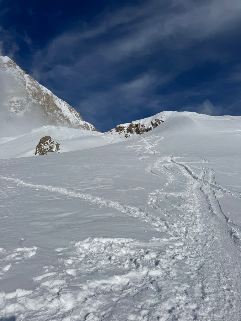
There were 2 teams attempting to summit. Because of the bad weather of the previous week, there was no trail, just virgin snow. Dominic, and the leader of the other team, Dallas, who coincidentally was a friend of Dominic, agreed a plan on how the teams would work in tandem. They would take turns of breaking snow, and would evaluate the risk as they proceeded. In addition to assessing the avalanche risk, they would have to find the buried pickets, essential to using running belays at the more exposed sections of the route. We gained a few hundred feet, to just below Denali Pass, when Dominic and Dallas did their first avalanche test. As my rope team was a bit behind, I had no idea of what was happening, other than we were stopped. After about 15 minutes, our rope leader said we were heading back. We would go no further today, or as it turned out, ever.
When we got back to camp Dominic explained what had happened, and our plan. He, and Dallas, had dug out a section of snow, and with his hand pushed this cut-away section of the snow pack, which moved very easily. He described it as being like a pack of snow sitting on marbles, and the cross section of the snow showed many discernible layers. It meant the avalanche risk was high, and that the weather conditions were very unlikely to alter this in the coming day(s). Our trip, our hope of submitting was over. We would break camp and head back to Camp 3 at 14,000ft.
It was a crushing blow. The instant reaction is f@@k! The 10 days sitting at a camp 3 waiting was for nothing. That damned (I can think of better f words) 20” of snow screwed us. The months of training, the hours and days away from family, those endless hikes on Fort Ben and Brown County, were pointless. The sadness, the disappointment, and the frustration, of the team was palpable. For Mikayla this was the 2nd time. 2 years ago she spent 7 days at Camp 3 before turning around. Etienne asked was there another route, surely there was another option! For me, I was very disappointed. I had failed to summit Rainier last year, so I had experienced something similar previously, but not to the same extent. I had not invested this effort, this amount of time, this level of training, on any previous trip. I had never prepared as hard. However, I promised Fionnuala I would be safe, and I would return. I did not want my name added to the Denali memorial in Talkeetna. I knew I would have summitted that day. Physically and mentally, I was ready and I would have got me to the top. I would have “won”. I was beaten by the weather, not by the mountain, and not by myself. Would I try again, probably not. Some were more upset. Etienne described the upcoming walk down as the “walk of shame”. I disagreed strongly, it was a walk of disappointment, but there was no shame. We had done everything we could, and we would have summitted. No doubt.
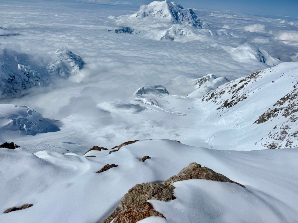
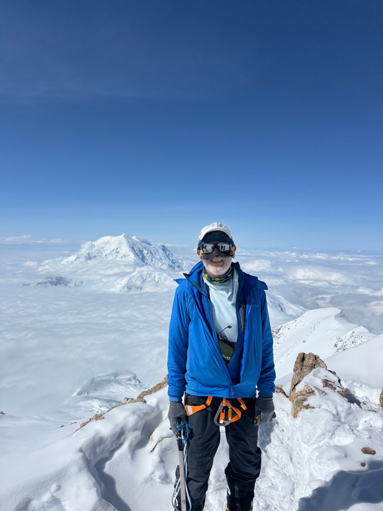
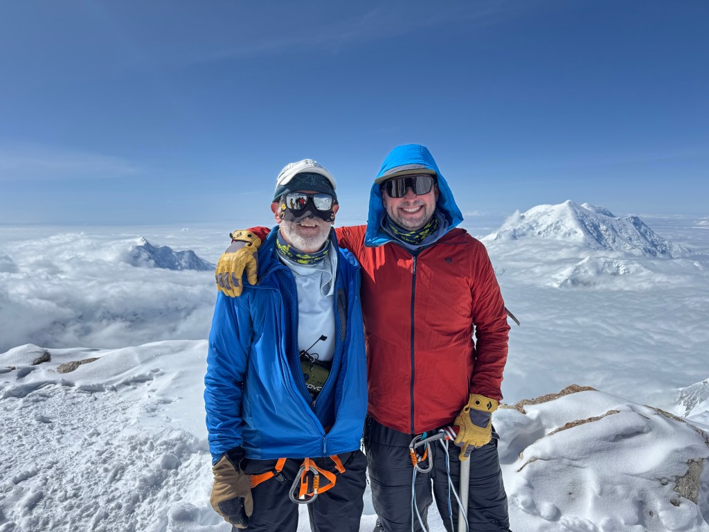
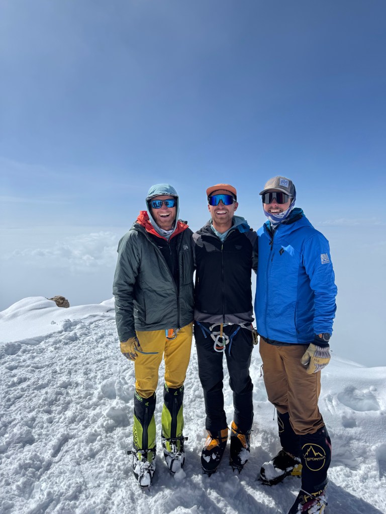
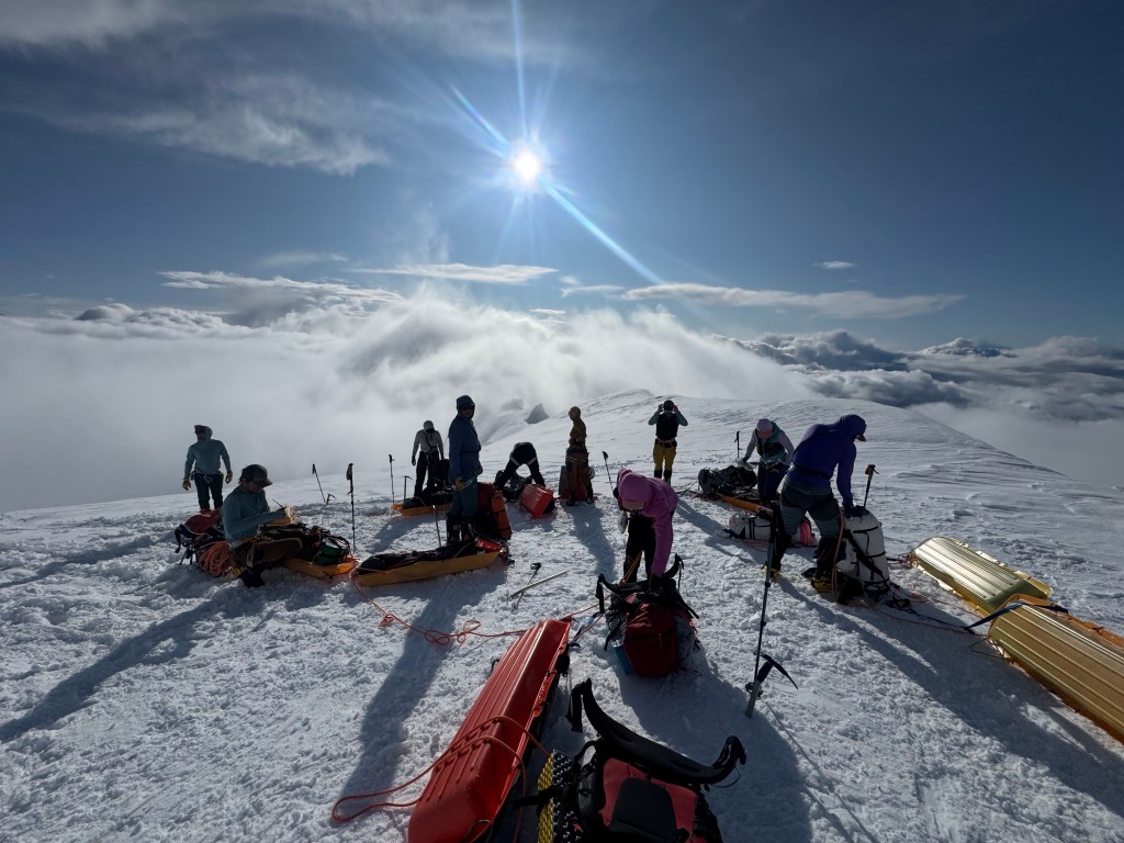
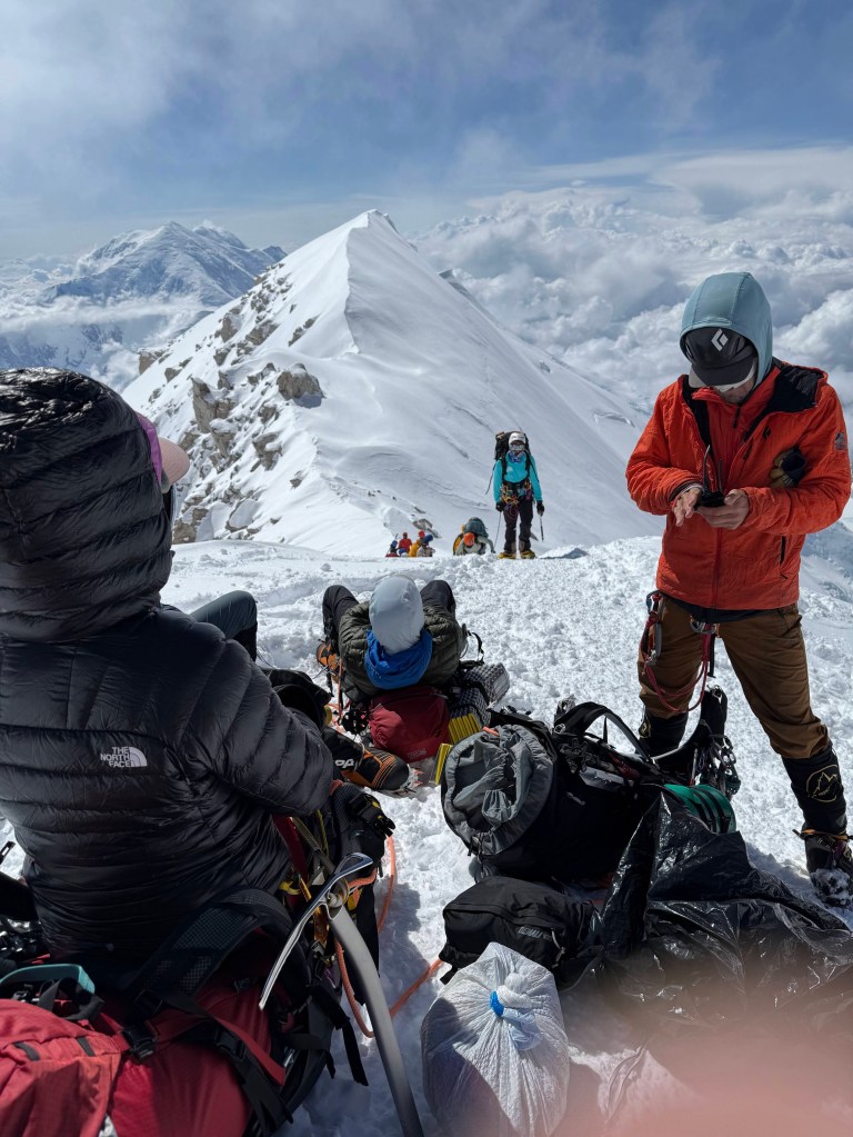
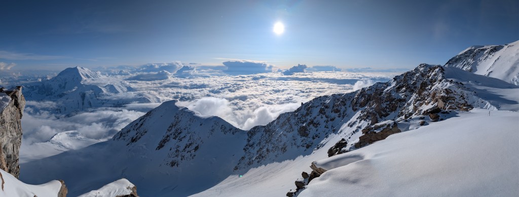
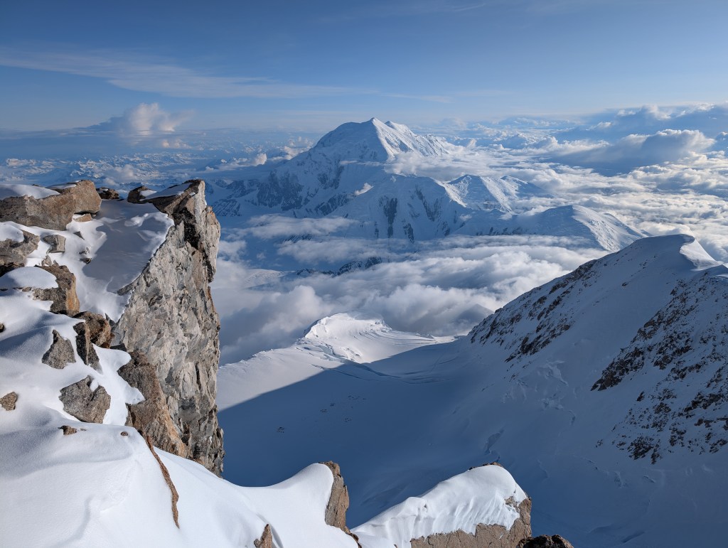
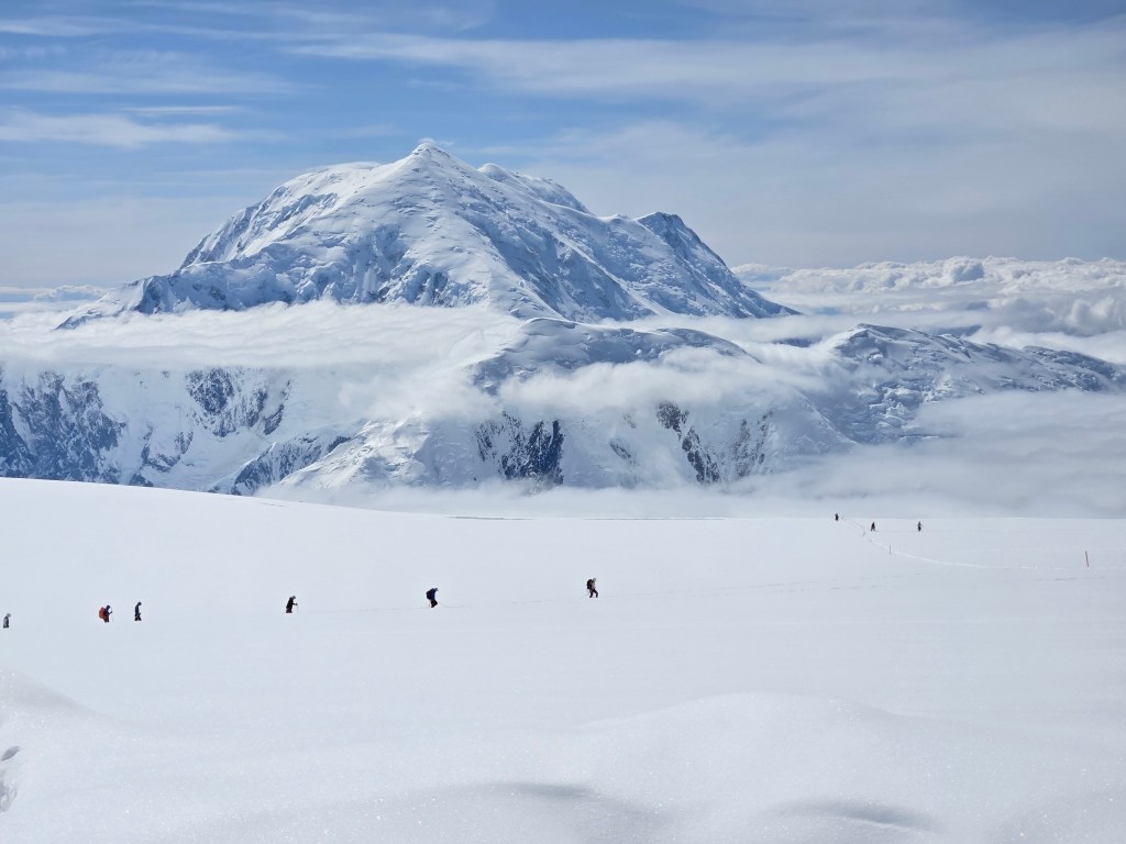
We gathered for photos, at the “Diving Board”, an exposed piece of rock near our camp. The views were indescribable. Directly below us, 3,200 feet straight down was Camp 3. Foraker was glowing, as usual. Hunter was 3000 ft below us, the exposure of the West Buttress was scarily apparent, and the route to the top was visible, but unattainable. People broke out their summit treats. Ben shared his Twinkies, Andrew waved his Texas flag, I kept my 5 pebbles in my pocket. 5 pebbles I intended to lay at the summit – 5 being significant as it represented Fionnuala, Sophie, Eoin, Kevin and me, and 5 being my number of children, Paul, Rory, Sophie, Eoin and Kevin. Etienne ate his brownies. We took group, individual, and friend photos. As a group we had demonstrated resilience, and teamwork.
It was time to head for home. First however, we had cross the West Buttress, this time going down. I admit I was wary, more than that, a bit scared. Going down is always a challenge, and I had a promise to keep. Get home safely. A Hail Mary, and off we went.
It was stunning. Yes it was exposed, but the anxiety and the shortness of breath experienced on the ascent, were gone. Concentration, focus, thoughts of getting back to family, and prayers. Descending the scramble and fixed rope sections were the worst. Whilst you use the ascender on the way up, which physically attaches you to the fixed lines, on the descent you wrap the rope around your arm.
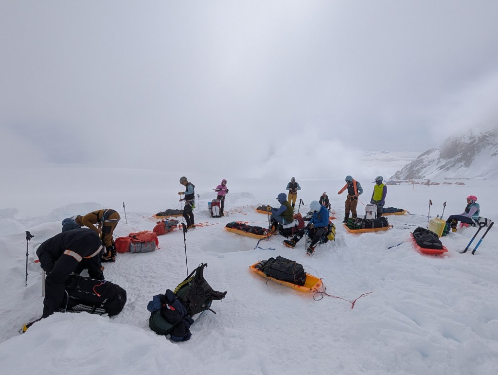
Totally uncomfortable! We made great time, and were back at the top of the longer section of fixed lines in no time. At that point we agreed – it was democratic and unanimous – that we would go straight to Camp 2, at 11,000 feet, bypassing Camp 3. We scampered down the fixed lines and the remaining hill to Camp 3, dug up our cache, collected Sophia and Tait, loaded our sleds, and headed for Camp 2. Yes, the sleds were back, and we divided our weight between the backpack and the sled.
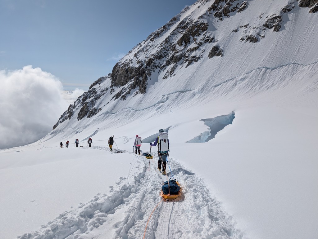
We had 2 dodgy sections ahead, Windy corner, and Squirrel hill. We now walked with a heavy sled between us. As the last man on the rope team I had no sled behind me. My role was to prevent the sled on Adjoa, ahead of me, from moving to the left or right, that could cause her to be pulled off the track, and off the mountain. I achieve this by keeping a very tight line, effectively trying to pull her back towards me. The trail and conditions were significantly different than the last time we descended back to Camp 2. The snow was deep, and relatively untrodden. At Windy corner there is steep exposure on the left, and the sleds slide strongly in that direction. On the right there is the risk of rockfall, so we once againhad towear helmets on this section. I always wonder what good my helmet would be if I was hit by a significant rock!!!!
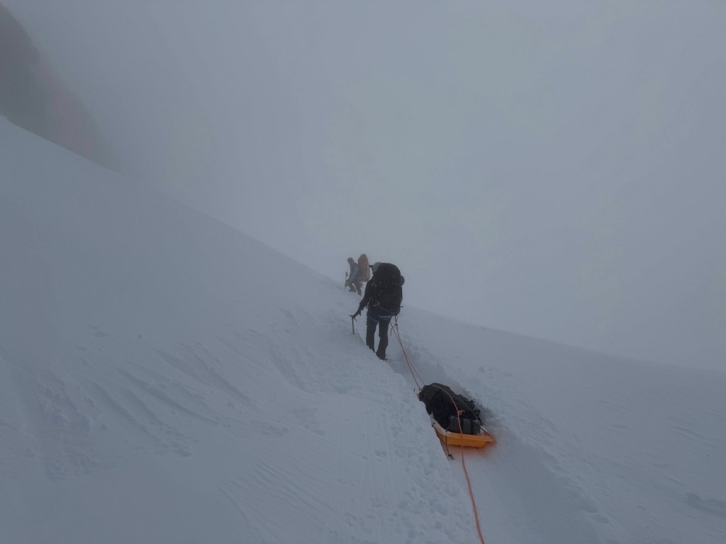
We negotiated Windy corner pretty easily, but Squirrel Hill was a real challenge. The snow accumulation was significant, and the snow gave way easily underfoot, easily causing a stumble. the exposure here is to the right, with a huge drop to the Peters glacier. In addition, we were hit by a blizzard. The deep snow meant we were intermittently potholing on some sections, making maintaining balance and staying upright tough, and the sleds pulling hard to the right. However we got through it, and took a break at the top of Motorcycle hill. One more steep section and we would be at 11,000 feet. At this stage my quads were screaming, but we got there. It was probably 9pm. We had to put up the tents, and had another Mountain House dinner, this time Chicken Tikka Massala. Not bad. At about 10:30pm Dom said we would leave Camp by 1:30am, so get some rest. I was looking at 2 hours sleep.
“Summit day” – waking up Ready to goHeading off…I’m at the backDominic “it’s time to go down” speechSnow/avalanche testEtienne “is there another route?”The Diving board – Camp 3 barely visible way below How close we got!Andrew, best buddyDominicBen, Dominic, MikeTime to go downBack across the ridgeBelow the fixed lines Retrieving gear and packing sleds at 14,000 campSleds back, heading to Windy cornerWindy cornerApproaching Squirrel hill Squirrel hill
At last! 10 days in Camp 3 is more than enough. We were up at 7:30, had a simple breakfast of Quakers Oats (yuk! a mix of blueberry and apple/cinnamon), packed our backpacks, took down all the tents and buried them along with all the unwanted gear and snacks. Minimizing weight for the remainder of the journey was crucial. We didn’t need to carry the tents, as RMI has tents and some gear cached at Camp 4. So the bags were reasonable, and we were eager.
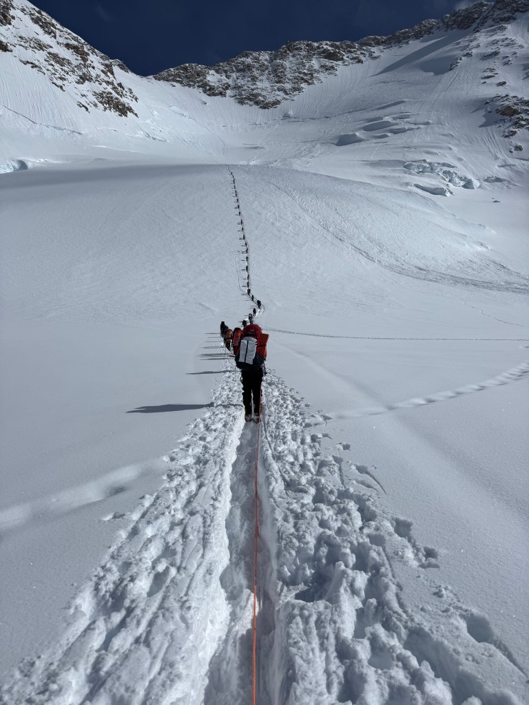
There was quite the crowd ready to move by 10am. Big question of who would go first. Whoever went first had the unenviable task of breaking snow and establishing a trail. No one had gone up since the 20+” of snow. Unusually Dom held back. The Russian team, the Lithuanians, the other RMI team got to the hill before us. Not all were heading all the way to Camp 4 at 17,200 feet, but to cache above the fixed lines. The question in the back of everyone’s mind was how far would we get. The stability of the snow was still questionable, and the accessibility of the fixed ropes across the ridge. The positive factor was the AMS team had crossed the ridge to get down.
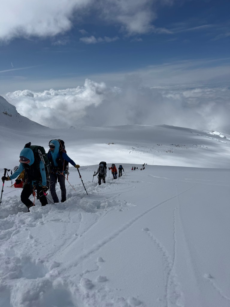
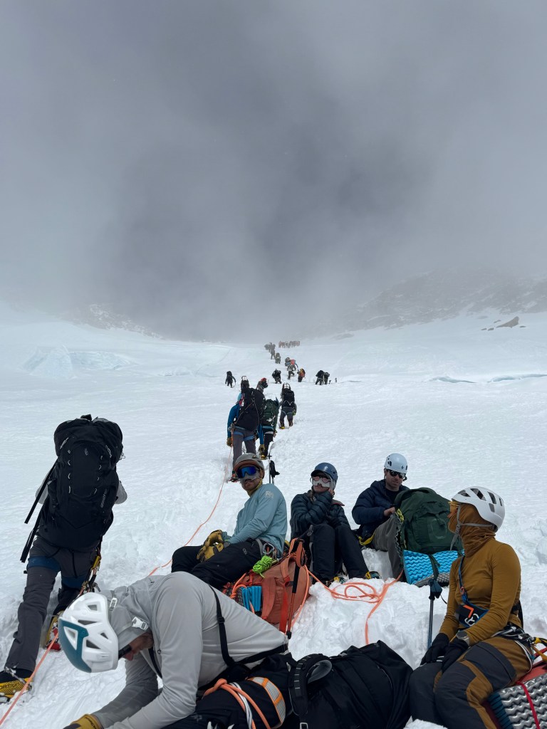
Unfortunately being so far back resulted in delays all the way to the top of the fixed lines. We waited at the base of the slope, as the teams ahead of us were quite slow tackling the initial incline. For me, and as I found out from all of the colleagues, this 2nd climb up was more challenging than our first 6 or 7 days ago – so long I can’t actually remember!, The impact of sitting around in Camp 3 was having an effect. However, the body warmed up, and the slow pace got me back in the groove. We went further before our first break, which made the 1st stretch quite testing. Dom did this for 2 reasons, we wanted to try and get ahead of some of the people ahead of us, as the pace was slow, and he was testing us. He wanted to push us to see if we were upto this stage, and the final stage to the summit. 2 of the group, Sophia and Tait from NYC, quit at the break. They fell quite far back on this first stage. Ben brought them back to Camp 3, where they will remain until our return. They will camp with the other RMI team, who are only heading up to cache some gear, and will return to Camp 3 today. This clearly was a tough call, but the right one. It was clear over the trip, and especially during our first trip up to cache, that they were struggling. It was additionally rough on them, as they also had to turn around last year.
We made reasonable time to the bottom of the fixed lines, slower than our previous trip, but were held up for over 30 mins before getting onto the fixed lines. It made me think, in a very simple way, of the delays on Mt Everest at the Hillary step. We just sat and waited for the slow line ahead, to climb over the crevasse, and start up the fixed lines. You’re stuck, you get impatient, you can’t go on, as you watch people ahead struggle or move slowly, or perceive to move slowly. Fortunately, there was no wind, as it would have been quite cold if there had been one. I reckon it was about 10F.
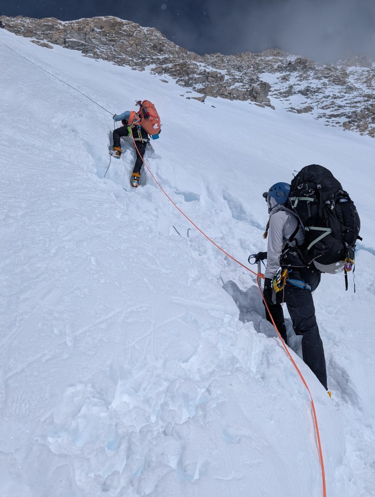
Eventually we got on the fixed lines. Adjua, who was now on my rope team ahead of Andrew, was extremely nervous as we worked our way up the blue ice section. The blue ice (it really is blue) is super hard and slippery. The crampons didn’t grip the ice like they do the snow, so maintaining a foot hold, and not slippingwas challenging. So kicking really hard, repeating as often as is necessary to get a grip, to get a couple of spikes into the ice is crucial. The angle of the slope at this section is about 60 degrees, so the nervousness is understandable. However, contact is aided by the ascender, so a serious fall is very unlikely. The slope is not sufficiently steep to require the aid of the ice axe. The key tester is to have your feet securely anchored, especially at the points where you have to detach and re-attach the ascender when one fixed line ends, and the next begins.
At the top of the fixed lines, which is about 2,000 ft, and almost directly vertically above Camp 3, as you look back, we waited for Ben. Having returned Sophia and Tait, he turned around and followed us up. More like, he raced back up!!
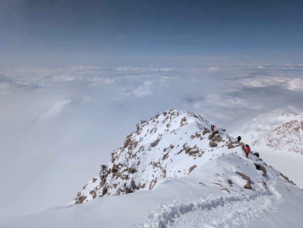
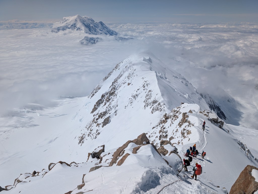
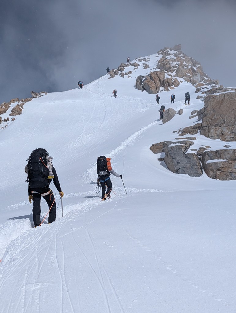
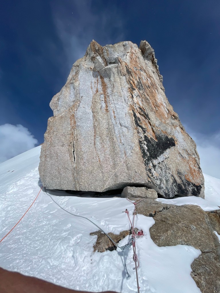
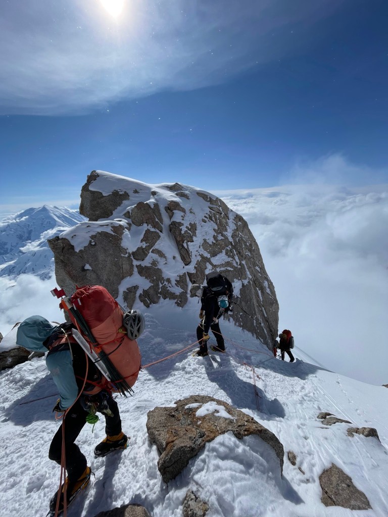
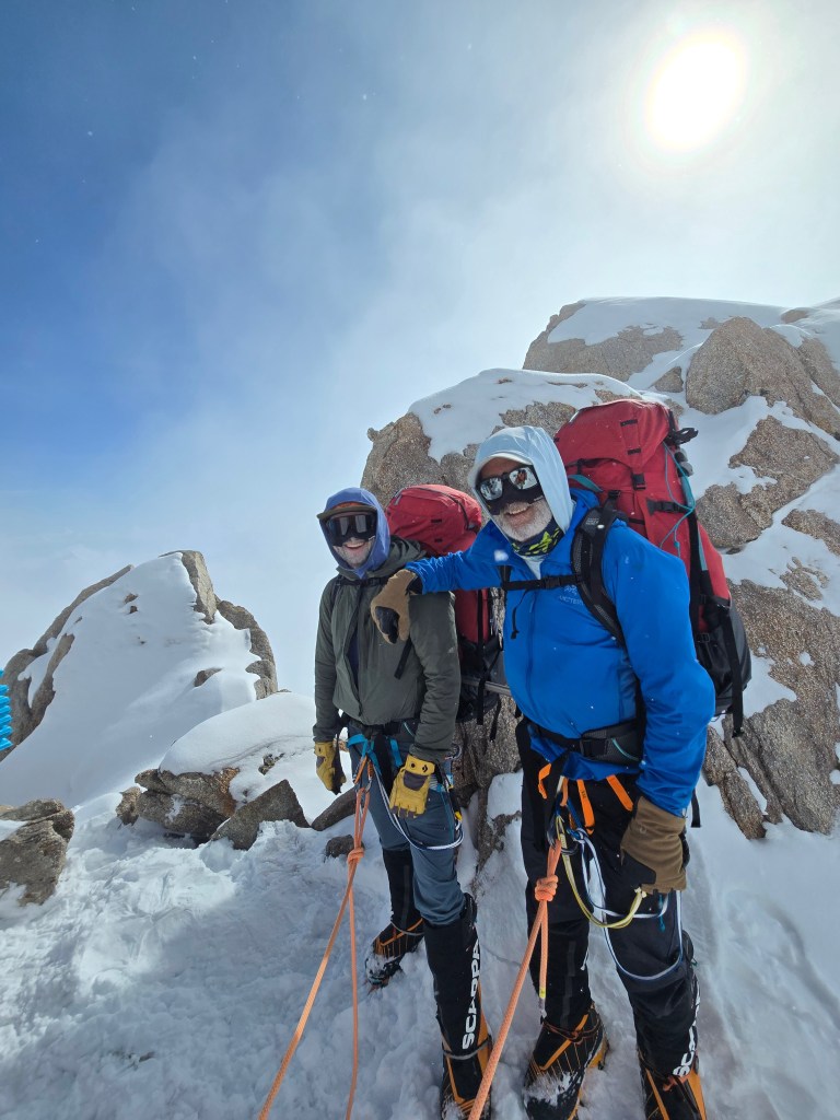
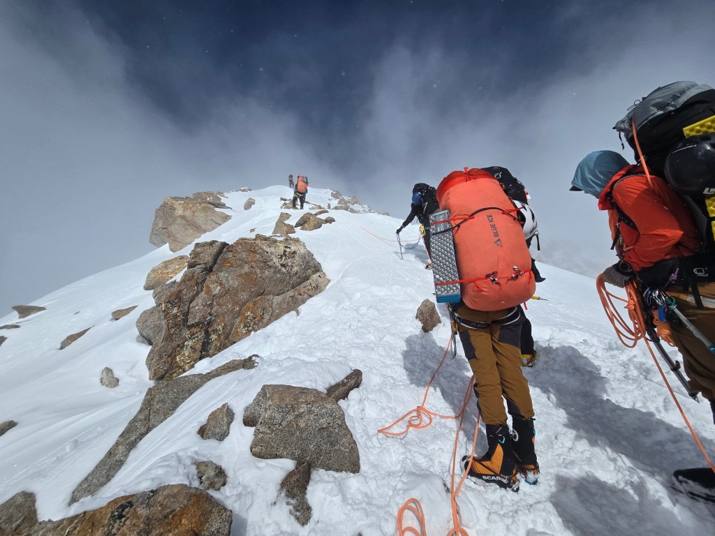
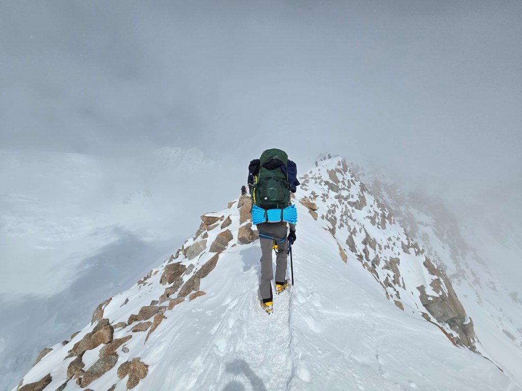
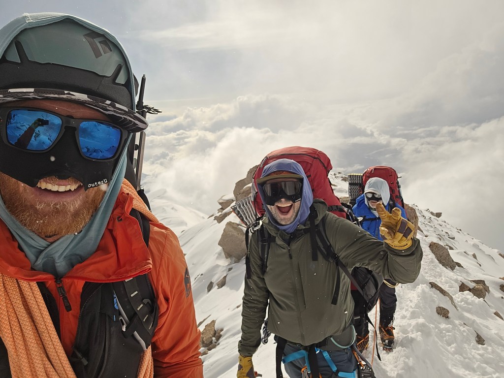
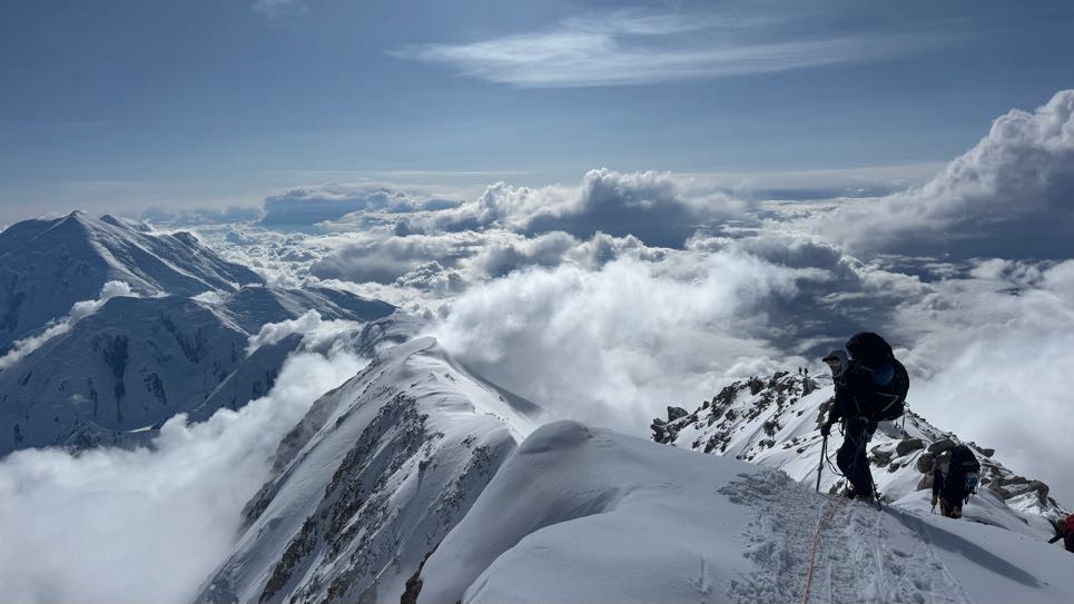
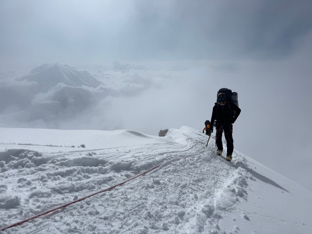
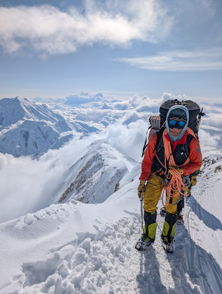
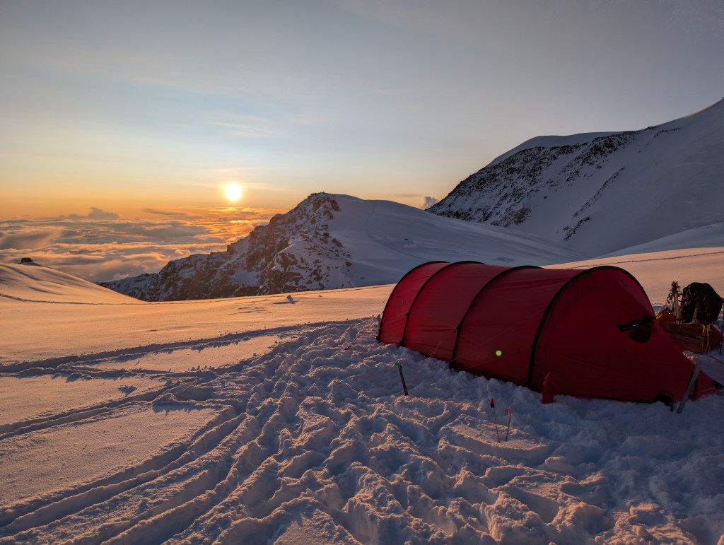
The guides dug up our cache, and we loaded up to head to Camp 4, at 17,200 feet. We had no idea what was ahead. We were about to traverse the West Buttress. The first section was a steep scramble up to Washburn’s Thumb – named after the famed climber and photographer Brad Washburn who established the route after photographing Denali from his plane back in time. Washburn’a Thimb may have looked insignificant from way down in Camp 3, but not now! On this section, Ben, our guide and rope leader, slipped, but quickly self arrested! I discussed this with Andrew later in the day, and this stumble had a similar (but silent) affect on both of us. It definitely increased our anxiety, making breathing difficult. I remember thinking I can only half fill my lungs, I have a cramp in my lower chest! After the scramble, there was a short section of fixed lines. At this point there was only one group ahead of us, so the snow was not packed, adding another vector to the challenge. The route was a mix of snow and rock, and rock and crampons aren’t great. After the fixed lines we were on the ridge. The exposure on both sides was something. Having said that, it was incredible. Steeply down below our right side was Camp 3. For days we had looked up at this ridge, with no knowledge of what it was like. Thankfully the route was passable. It was also clear why doing this ridge in the wind was a no-go. We walked for a couple of more hours on this ridge, occasionally having to scramble over rocks, which is quite different whilst wearing crampons. This section, which gained us about 1000 feet, was physically tough. We reached Camp 4 at 7:00pm. This was later than expected, due to the time lost earlier in the day on the lower sections. Then it was the normal routine. Establish camp – shovel out a flat platform for the tents, erect the tents, assist with the Posh and the latrine, unpack the backpack, blow up your air mattress – which is no fun at 17,200 feet -. Given the significant drop in temp, it was time to bring all layers into the tent, and keep your boot liners, socks, all gloves, all layers, and water bottles in your sleeping bag. The guides boiled water, which takes a lot longer at 17,000 ft, and we had a Mountain House dehydrated dinner in our tents. My yellow curry with chicken was quite tasty. I was tired. So was Andrew, and as it turned out, so was everyone else. It had been a long day, tough climb, wildly exposed. Nonetheless, it was exciting to be here, it felt good, to be within a day’s climb of the summit.
Dom gave his end of day speech, saying we were going for the summit tomorrow. He put our chances at 50/50, with the risk being avalanches. The ground above us, and route to the top was virgin, untouched snow. The leader of the Russian team (he was American) said he had never seen so much snow on the route ahead.
So, exciting day ahead, but prayers needed to make it happen. Despite the excitement and anxiety, sleep came easy.
Almost ready to goWe waited….now it’s a long lineMaking our way to the fixed linesFirst breakWaiting at the fixed linesOn the fixed lines…at lastStart of the ridge..camp 3 well belowWashburn’s fingernail?Ben, Andrew, meApproaching Camp 4…….at lastCamp 4, 17,200ftMade it!Camp establishedJust incredible!Tomorrow’s route 🙏The ridge and single climberLike standing on airG’night
We did not move today. The view from Dominic, and the Park Rangers was the avalanche risk was too high. Spirits sunk at 7:30 a.m when Dominic came to the tents to share the news. Not unexpectedly, no snow had moved overnight. The obvious expletives were heard being mumbled along our line of tents. So we got up at 9:30, not that anyone had gone back to sleep, and chatted, with bowed heads, over a bowl of granola. Dominic said there’s still 1 more chance on Saturday. So we’re down to our last chance. Groundhog day. This is our 10th day at Camp 3, and our 6th weather day.
Some of us roped up with Ben, and walked to World’s End, for something to do. When we returned we had a group charcuterie board – salami, prosciutto, cheddar, aged Gouda, triscuits. I had a grape flavored Nuun, the nearest thing to red wine…..not remotely!
Word had it the AMS teams that went up to 17,000 6 days ago were going to descend. Thank God for Dominic, as the AMS call to go up was brutal.
It was a gorgeous day. 8F, but I could not sit out in it. I was being crisped!
This evening Dominic said we’re going to 17,000 (Camp 4) tomorrow. From there he’ll check the conditions beyond, but we’re definitely moving. There hasn’t being an avalanche on Motorcycle hill, which meant the snow had probably settled. Out of interest, or self survival, I asked Dominic what should we do in the event of an avalanche. We all wear our avalanche beacons, but they’re no help if we all get hit by the avalanche. The answer is hopefully we all don’t get hit, but if you are hit, then swim. Try and get to the surface. Good to know, but I’m not a noted swimmer!
The excitement tonight is palpable. As Andrew said “it feels like Christmas Eve around here”. We’ve all checked, and double-checked, our gear. I’m ready. However there is a genuine concern about fitness. We all know we were definitely in better shape 7 days ago.
However, it’s good news. We are moving up.
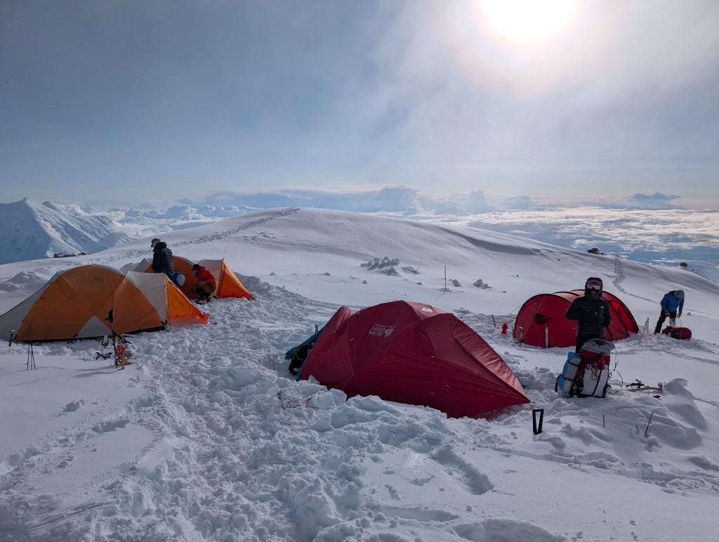
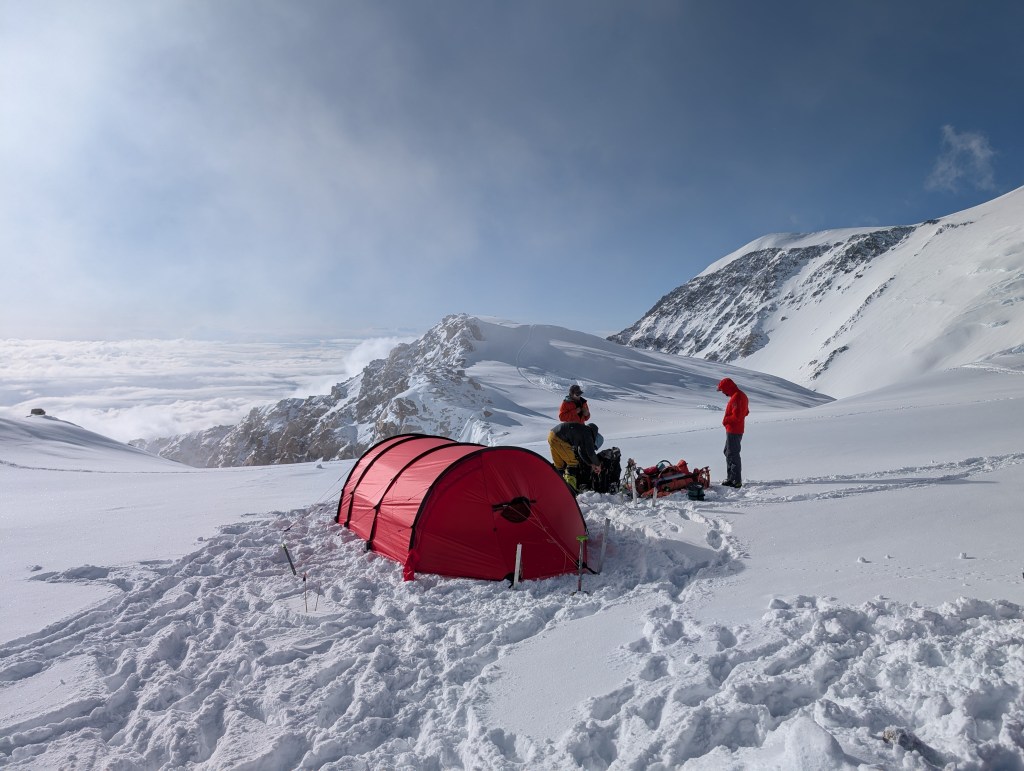
11am …just hanging around(I hope this is the right video)Path of yesterday’s avalanche Walk to World’s EndWalk back!!!The route to 17,000PicnicGreat view…but we’re glad to be leaving
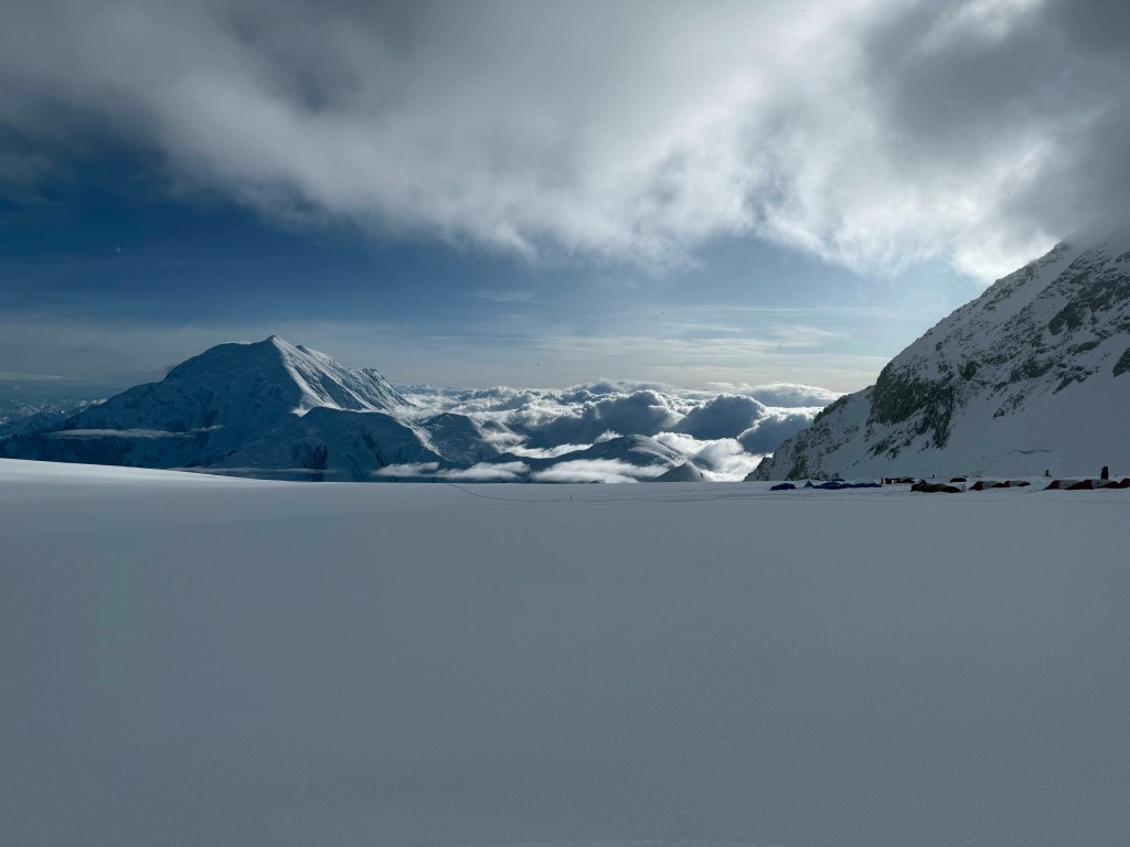
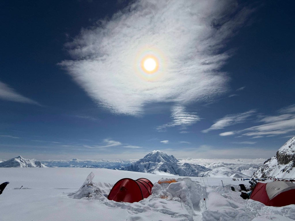
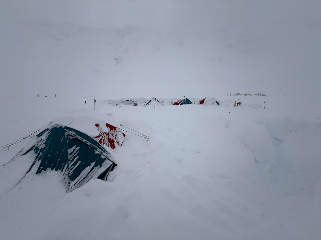
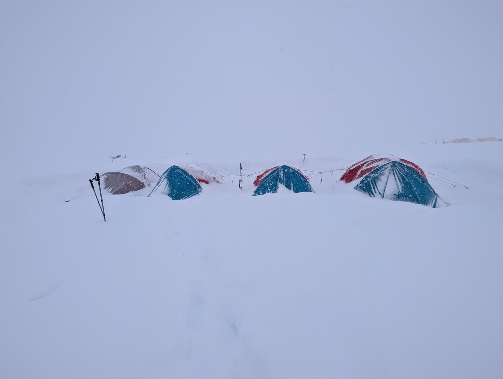
Before went to bed last night we shoveled snow from around the tent. The slow steady snowfall was accumulating. Seemingly a build up around the tent can result in suffocation, unlikely I’d say, but why take a chance. I’m not that bored….yet! During the night the guides got up and cleared all round the tents again. I woke/got up at about 9, and there was another 6” or more around the tent. It snowed all day. It was expected to stop at 2, at 4, and finally stopped at 6pm. I guess we had about 20” accumulation. We were in a complete whiteout for most of the day, the other tents around camp being barely visible. At this stage, it is getting boring. Today we could not leave the tents, so snooze, read, chat, snooze, read…….. Some people – thankfully not Andrew – , and other’s little idiosyncrasies, are becoming irritating, even annoying in some cases. However, it is only a few more days (one way or the other), so no need to upset the applecart.
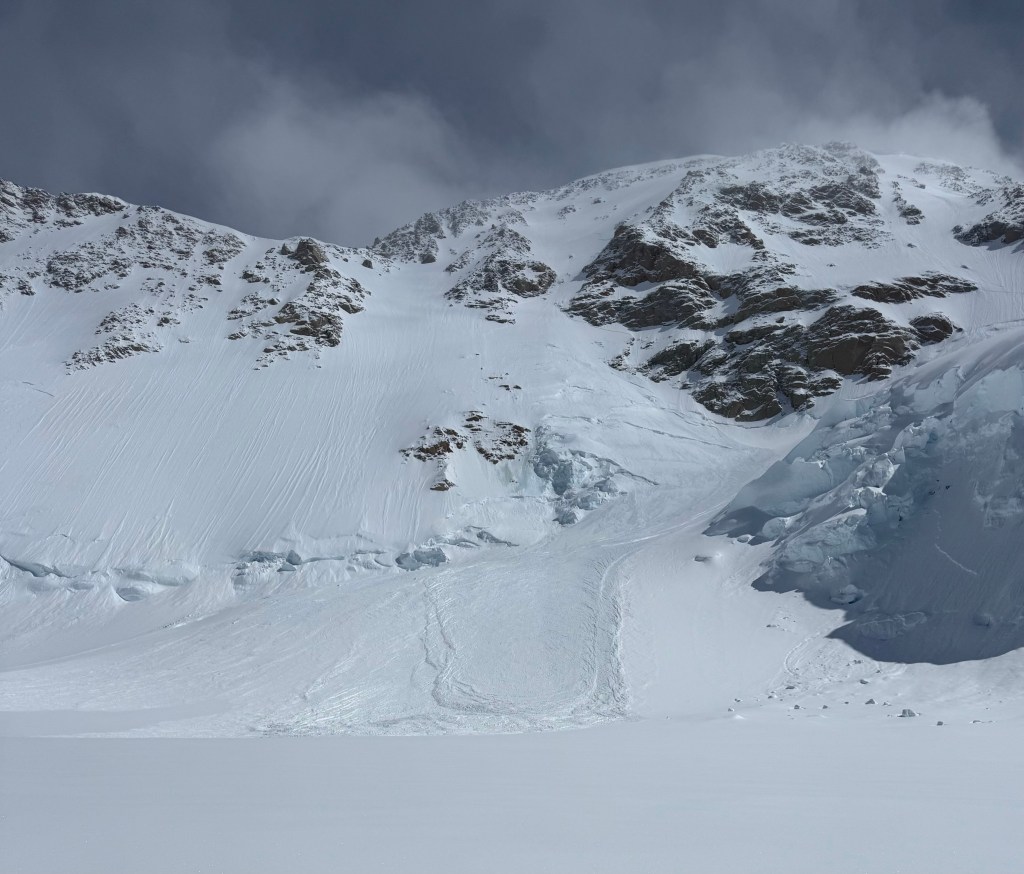
Blue skies at 6pm was a cause for celebration. Perhaps we will move tomorrow. The arrival of the sun was followed by a huge avalanche down the Meisner glacier behind us. I stood and arched it wit Dominic from outside the mess tent, huge thunderclap sound, followed by a massive rush of snow. Then a massive cloud of snow dust covered the camp, even though we were a distance from the avalanche. Nature….its wild!
As we talked over dinner, Dominic said we need more avalanches to shift the fresh snow off our route to 17,000, so amazingly we are wishing for avalanches. Isn’t that wild!
Walking around camp after dinner, many teams are hoping to move tomorrow, as Saturday is expected to be a good day to attempt to summit. Ideally, some overnight (unlikely) or early morning avalanches, and then a team or two ahead of us to break the ground tomorrow. But like every day for the last 5, we’ll wait and see!
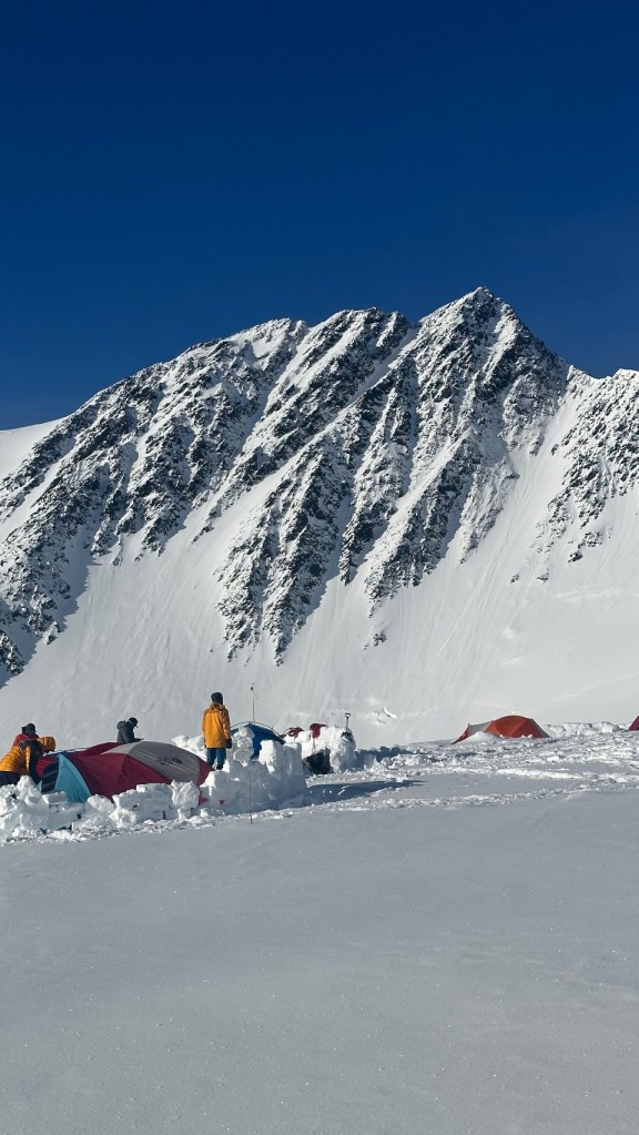
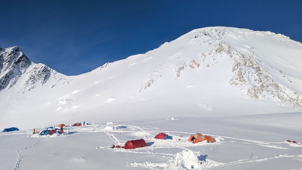
Early morningA fair amount of snowTime to start workAs Jeremy Clarkson might say “shoveling!”5pm Mt Hunter is out there…somewhere!5:15 pm5:30 pm. It’s brighteningHope 🙏7:15 pm7:30pmTrack of the avalanche down MeisnerThe route up…need an avalanche on the left 8pm… no wind up highMt Hunter is backIt’s just so beautiful!